 Zoning
Zoning Laws in Alabama: What Rural Land Buyers Need to Know
Alabama counties can't zone, so most rural land is unzoned. Here's what that means for buyers, what rules still apply, and which pitfalls to avoid.
8 min read

Check flood, wetlands, slope, soil, access, and zoning before you make an offer, not after.
Currently covering Tennessee and Alabama
Go from map click to comprehensive LandWise report.
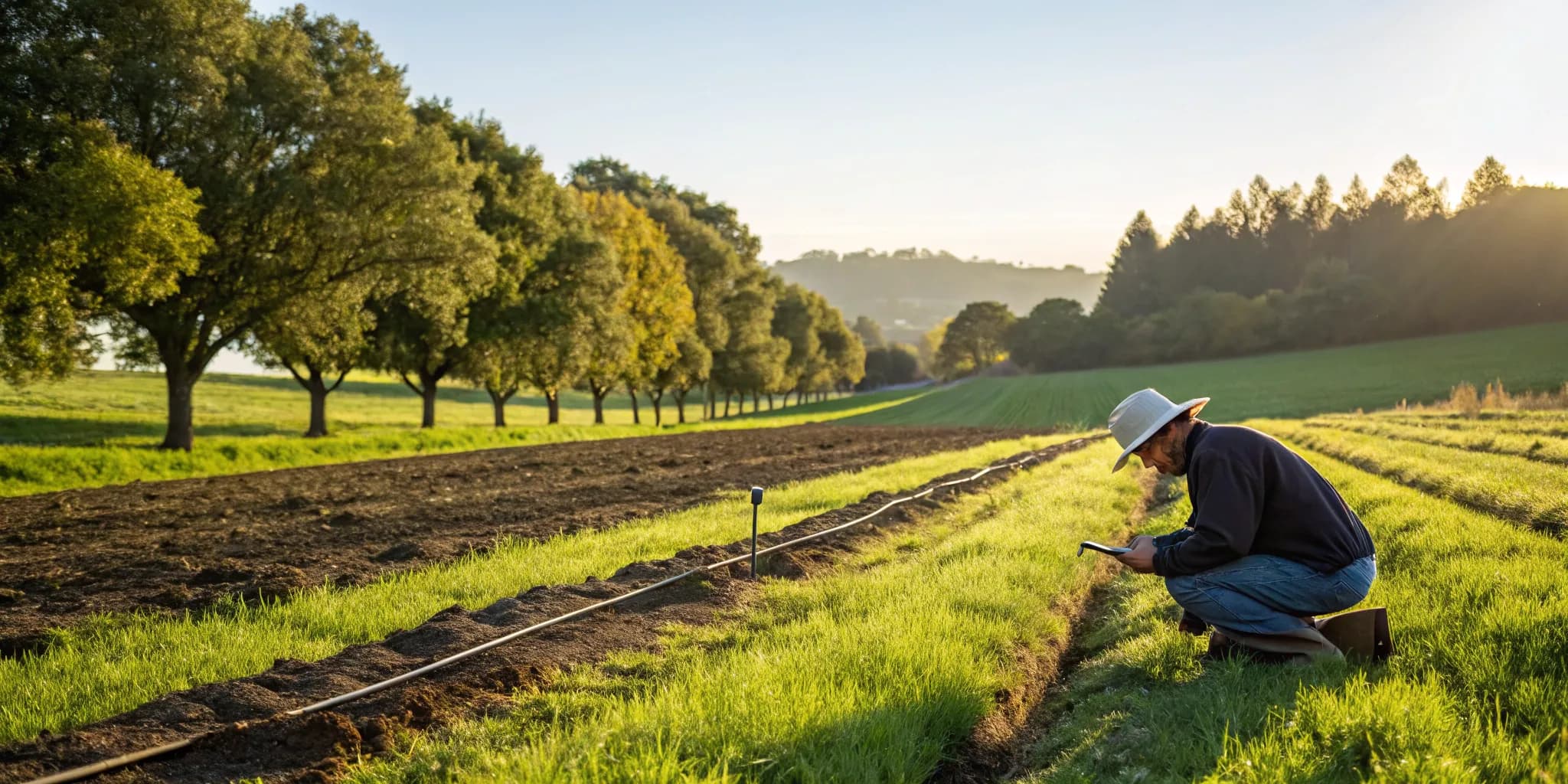
Click anywhere on the map to select a parcel. We pull the boundaries and property details automatically.
Eight spatial analyses run in parallel — flood, wetlands, slope, soil, roads, buildings, zoning, and utilities.
Our system synthesizes the data into a LandScore with actionable recommendations.
Every layer of data you need to evaluate land suitability, in one report.
Check FEMA NFHL flood zones and Special Flood Hazard Areas for any parcel.
Analyze terrain slope distribution to assess terrain challenges.
Get comprehensive LandScores and recommendations with actionable insights.
Identify wetland areas that may restrict development on your parcel.
Understand soil composition, drainage, and septic feasibility for your parcel.
Check road frontage, proximity to nearest roads, and access type.
Review zoning designations, permitted uses, and restrictions for your parcel.
Detect existing buildings from tax records and satellite-derived footprints.
Evaluate access to electricity, water, sewer, and internet service.
Due-diligence guides from the team that built the analysis tool.
ZoningAlabama counties can't zone, so most rural land is unzoned. Here's what that means for buyers, what rules still apply, and which pitfalls to avoid.
 Soil
SoilLearn how percolation tests work in Tennessee, what they cost, TDEC requirements, and what to do if your land fails a perc test.
 Land Buying
Learn how mineral rights work in Alabama, how to check if they're severed from your parcel, and what it means if someone else owns what's below the surface.

Make data-driven decisions about land suitability. Free to get started.