The 1996 Summer Olympics sent most of its athletes to Atlanta. For canoe slalom, organizers sent them to Tennessee instead. The Upper Ocoee River in Polk County was the only Olympic venue outside Georgia that year, and the engineered course remains one of the most technically demanding stretches of whitewater in the Southeast.
That combination of Olympic-grade whitewater, over 150,000 acres of adjacent Cherokee National Forest, and some of the more affordable property-tax rates in East Tennessee draws a specific kind of land buyer to Polk County: someone looking for recreational land, serious seclusion, or both. What many of those buyers don't expect is the due-diligence complexity that comes with it.
Three Distinct Areas in One County
Polk County runs from the Hiwassee River valley in the northwest to the Tri-State corner where Tennessee meets North Carolina and Georgia. It's useful to think of it in three loose zones, because the land-buying considerations differ significantly in each.
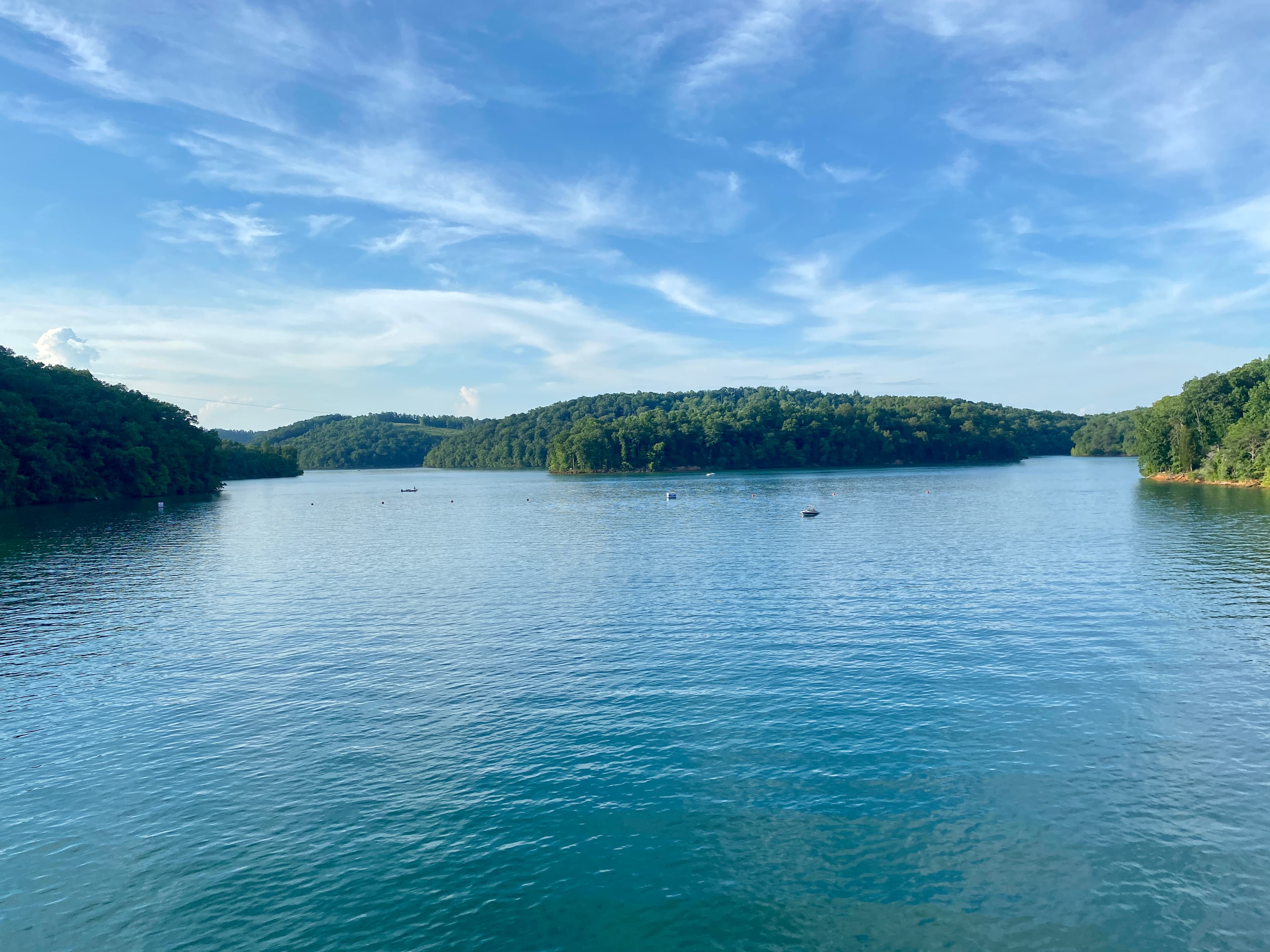
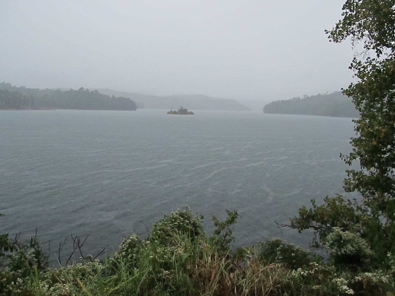
The Ocoee corridor runs along the river from Parksville Lake east toward Ducktown. Parcels here often sit on or near Cherokee National Forest boundaries. Parksville Lake covers 1,930 acres with 109 miles of shoreline, and the river gorge draws hundreds of thousands of tourists annually for rafting and kayaking. Short-term rental demand here is real and growing.
The Copper Basin occupies the southeastern corner of the county around Ducktown, Copperhill, and Turtletown. This area has a completely different land-buying profile, covered in the next section.
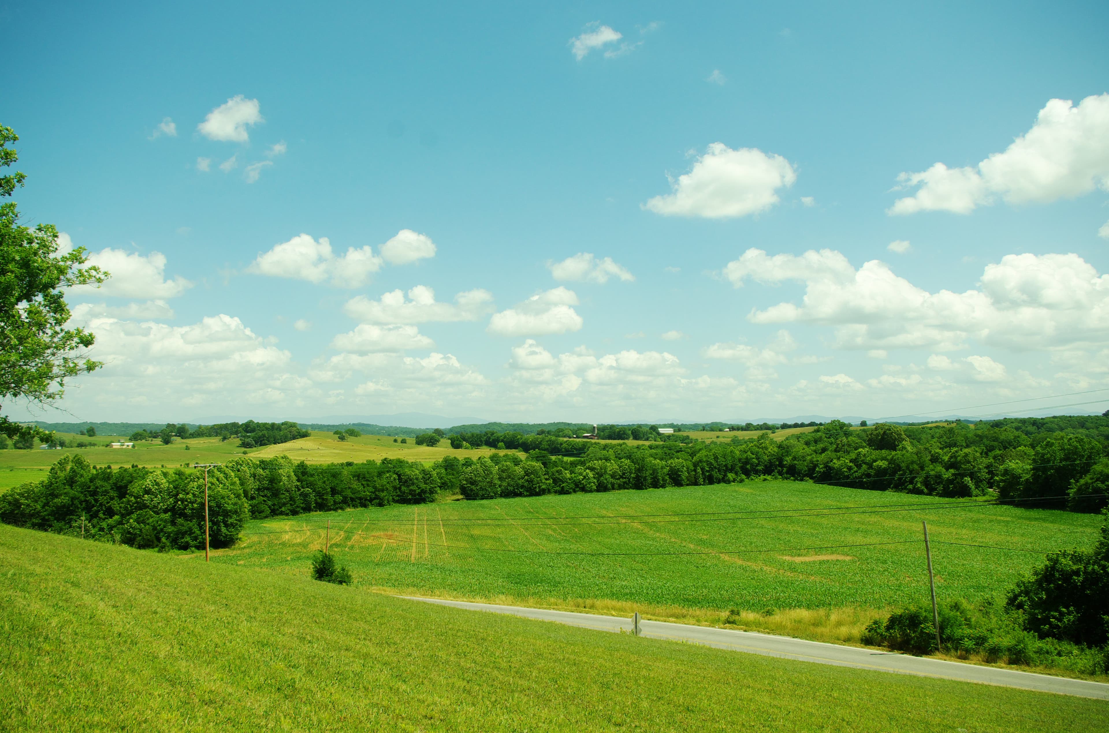
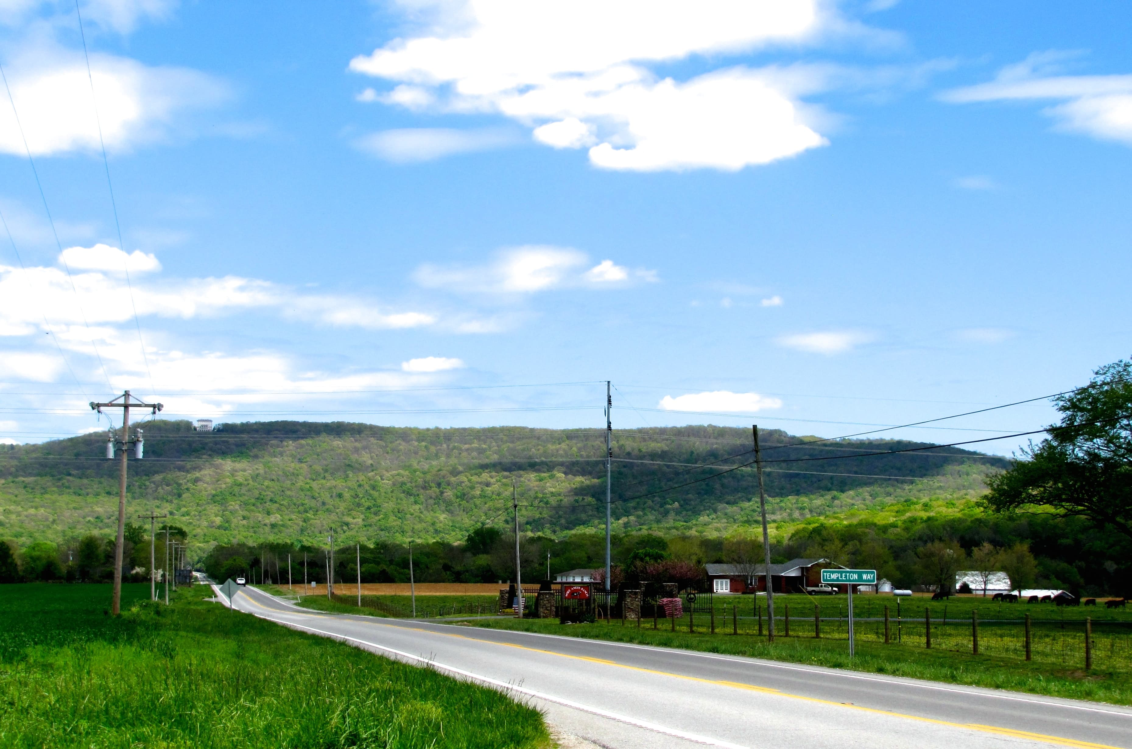
The valley and ridge country north and west of Benton mixes agricultural land with forested ridgelines. These parcels see less tourist pressure and typically price lower per acre than the Ocoee corridor.
What the Copper Basin Means for Buyers
The southeastern corner of Polk County has one of the most striking environmental histories in the American South. Copper ore was discovered near Ducktown in 1847. By the late 1800s, open-air roasting of sulfide ore had destroyed all vegetation across roughly 50 square miles through sulfur dioxide emissions, leaving bare red clay visible from miles away.
In 1907, the U.S. Supreme Court decided Georgia v. Tennessee Copper Co., ordering the company to capture its sulfur fumes. That case, written by Justice Oliver Wendell Holmes, was one of the first rulings to treat air pollution across state lines as a justiciable harm. Mining in the Basin continued until 1987; chemical production ended in 2000.
The site now operates under EPA oversight through the Superfund Alternative Approach. The primary soil and water contaminants are acid drainage carrying copper, zinc, manganese, and arsenic. Davis Mill Creek and North Potato Creek are the main pathways those contaminants travel into the Ocoee River watershed.
For buyers: the Superfund designation does not automatically cloud title on every private parcel in the area. But proximity to the former mining footprint is a genuine risk factor. If you're considering a parcel within a few miles of Ducktown or Copperhill, a Phase I environmental site assessment and a water quality test are basic due diligence, not optional extras. That's not a standard recommendation for most Tennessee counties; in the Copper Basin, it is.
Flood Zones Along the Rivers
The Ocoee River has three TVA hydroelectric dams: Ocoee No. 1 (Parksville Dam, built 1911), Ocoee No. 2 (1913), and Ocoee No. 3 (1942). TVA operations moderate the river's behavior significantly compared to a free-flowing stream, but they don't eliminate flood risk. Parksville Lake's water level fluctuates roughly nine feet per year under normal TVA management.
Bottomland parcels along the Ocoee, Hiwassee, and their tributaries carry the standard FEMA Zone AE risk you'd find near any river in Tennessee. Before you buy, check the parcel against the FEMA Flood Map Service Center at msc.fema.gov or Polk County's GIS flood viewer.
The bigger variable often isn't the main river channel but the smaller creek drainages cutting through mountain hollows. These receive less FEMA mapping attention than major rivers, and a narrow hollow that looks dry in April can change fast after a significant rain event. The useful question before writing an offer isn't "is this parcel in a flood zone?" but rather what percentage of the actual buildable area is affected and which FEMA zones apply to which portions. LandWise intersects the parcel boundary with NFHL data and reports the percentage in each FEMA zone, the SFHA designation, and base flood elevation where available, so you can see how much of the usable land is constrained before you commit.
Road Access in Mountain Terrain
The same topography that makes Polk County attractive creates real access problems for some parcels. Ridge-to-ridge land division was common historically, and a parcel that looks accessible on paper may have access only via a recorded easement across a neighbor's land or an unimproved private road that becomes impassable in winter.
Landlocked parcels are more common in mountain counties than in Tennessee's flatter western and central regions. Tennessee recognizes easements-by-necessity under state case law, meaning a landlocked owner has a legal path to forcing access, but that path runs through the courts and isn't quick or cheap. If you're buying rural land anywhere in East Tennessee, understanding how road access and landlocked status affect your options is worth doing before you make an offer.
Before closing in Polk County: pull the deed at the Polk County Register of Deeds at 6239 Hwy 411, Benton, TN 37307, confirm the access route is either a TDOT-maintained public road or a recorded easement with clear terms, and physically drive it. A paper easement over a ridge may exist on paper but prove impractical to use year-round.
One access wrinkle specific to Polk County: Cherokee National Forest adjacency. Some private parcels are accessible only through forest roads, which may be seasonally closed or restricted. Confirm access with the USFS Ocoee/Tellico Ranger District before assuming a forest road is a reliable year-round entry point.
Zoning, Taxes, and What Land Costs
Polk County has a Planning Commission reachable at (423) 715-6924, but rural unincorporated land outside the municipalities operates with minimal zoning restrictions. There's no county-wide land-use code preventing you from building a cabin, running cattle, or operating a campground on an unzoned rural parcel. The same freedom applies to your neighbors. Incorporated areas (Benton, Copperhill, Ducktown, Turtletown) have their own municipal regulations, so verify which jurisdiction governs any parcel near a town boundary.
On prices: listing data from 2025-2026 shows median sold prices in the range of $7,900-$17,000 per acre depending on parcel type and location. Ocoee corridor and lakefront properties price above that range; valley agricultural land typically comes in below it. Polk County's property-tax rate of 0.56% runs below the Tennessee state average, which is part of the appeal for buyers comparing across East Tennessee counties.
Every rural parcel will need a private well and septic system. Septic permits flow through the Polk County Health Center and require a soil morphology test. For the Copper Basin area specifically, understanding what a perc test covers and what it doesn't is worth a read, but note that water quality testing for heavy metals is an additional step entirely separate from the septic permitting process. East Tennessee's Blue Ridge geology also puts the region in an elevated-radon zone; radon testing for any structure or home site is a standard step here.
The county has genuinely strong recreational land value. The Cherokee National Forest adjacency, the Olympic whitewater legacy, and the Parksville Lake shoreline all support demand from buyers who want land with character. The due-diligence checklist for Polk County is longer than for most Tennessee counties, but the issues are knowable. Walking through them before you write an offer is the job.