In March 2021, the Calfkiller River crested at over 20 feet near Sparta, one of the highest levels ever recorded on that system. Rural communities like Doyle, Bon Air, and Cherry Creek sit completely outside FEMA's flood maps, so residents there received no official flood zone warning. That gap matters to buyers: the absence of a federal flood designation doesn't mean the land is safe from flooding.
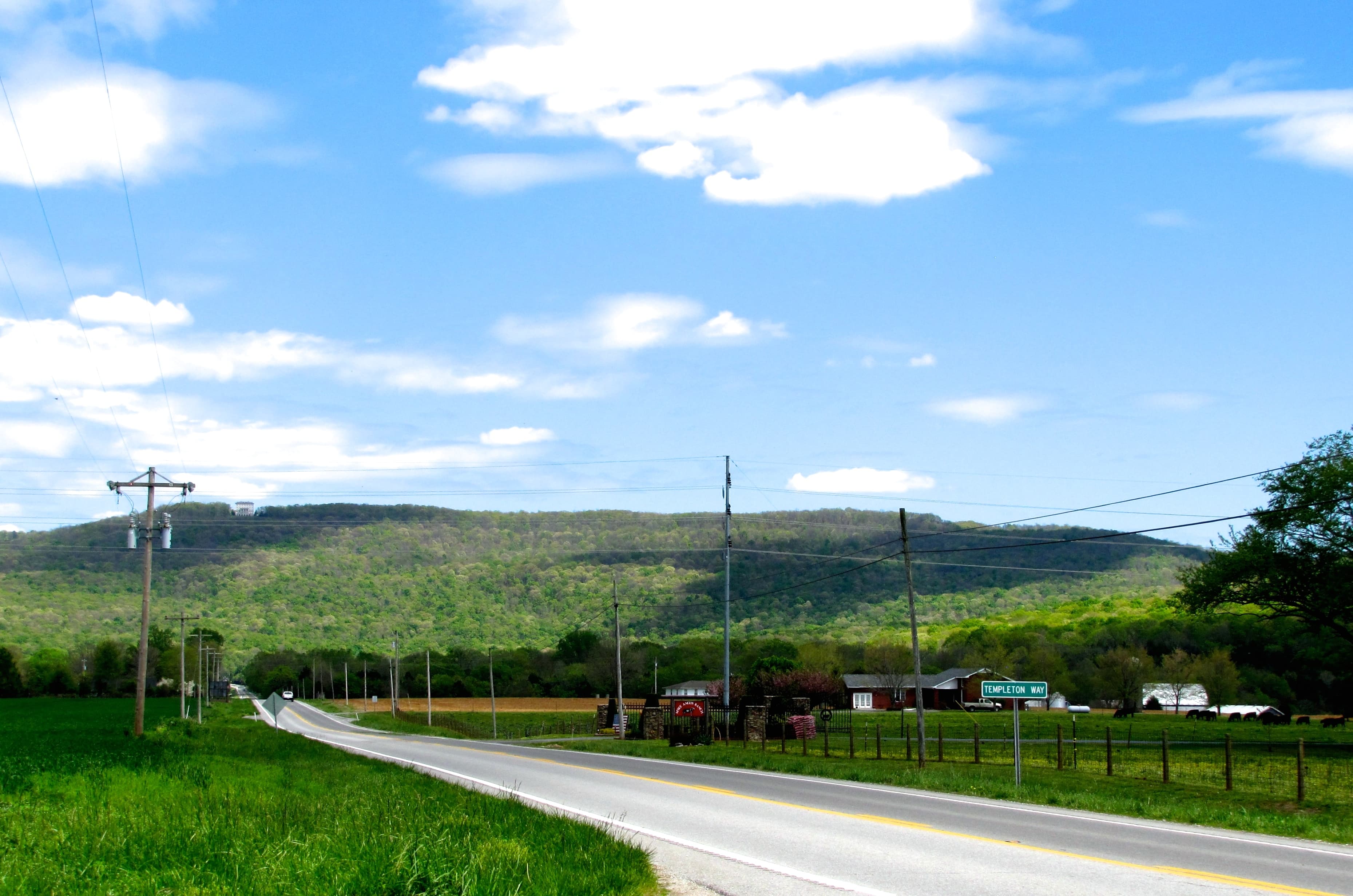
White County occupies the edge of the Cumberland Plateau about 97 miles southeast of Nashville. The plateau's east face is visible from the valley below Sparta. Nashville, Chattanooga, and Knoxville are all under 100 miles away, which makes the county a draw for buyers wanting affordable rural land close enough to city employment to be practical.
Land Prices
White County land prices scale sharply with parcel size. Recreational and timber tracts of 20 or more acres typically list between $7,000 and $9,000 per acre. Parcels in the 5-to-10-acre range run closer to $12,000 per acre, and sub-five-acre lots reach $17,000 to $26,000 per acre.
Those numbers reflect land without improvements. A plateau parcel with road frontage and standing timber will price differently than bottomland or a steep-slope lot with access questions. Buyers who want flexibility tend to find the larger plateau tracts the better value.
Zoning and Subdivision Rules
White County has not adopted a county-wide zoning ordinance under T.C.A. § 13-7-101. In practice, that means no use restrictions on unincorporated land: a neighbor can run a salvage operation, a commercial poultry house, or a hunting lodge on an adjacent tract without county approval. The county operates under subdivision regulations only. The White County Planning Commission reviews plat approvals and road standards but does not control permitted uses.
The county does enforce the 2018 International Residential Code for new residential construction in unincorporated areas. Building permits and inspections run through the White County Building Inspector. For plat questions or subdivision approvals, contact Planning Director Tommy Lee at the County Courthouse, 1 East Bockman Way, Sparta, TN 38583, or call (931) 979-2170.
The City of Sparta operates under full municipal zoning with its own Board of Zoning Appeals. If a parcel falls within Sparta city limits, the rules are completely different. Confirm jurisdiction before assuming the unzoned framework applies.
For how unzoned Tennessee counties typically work for buyers, see Zoning 101: Unzoned Counties in Tennessee.
Terrain and Caves
Eastern White County sits atop the Cumberland Plateau at roughly 1,600 to 2,300 feet of elevation, with a generally flat surface interrupted by gorges and coves. Western White County drops to the Highland Rim, lower and more rolling. The escarpment between them is visible from much of the valley. Buyers should confirm which side of it a parcel sits on; a plateau listing and a valley listing read similarly on paper but behave very differently for building, septic placement, and driveway access.
The bigger terrain factor in White County is underground. The county has over 1,200 documented caves, one of the highest densities anywhere in the world. Blue Spring Cave, five miles northeast of Sparta, has 38 miles of mapped passages and ranks as the longest cave in Tennessee. Cave systems beneath a parcel affect septic siting, building placement, and well drilling. Karst terrain can make conventional septic impossible in locations that look buildable from the surface. A soil scientist with karst experience is worth hiring before moving forward on any plateau parcel where you plan to build.
Flood Risk
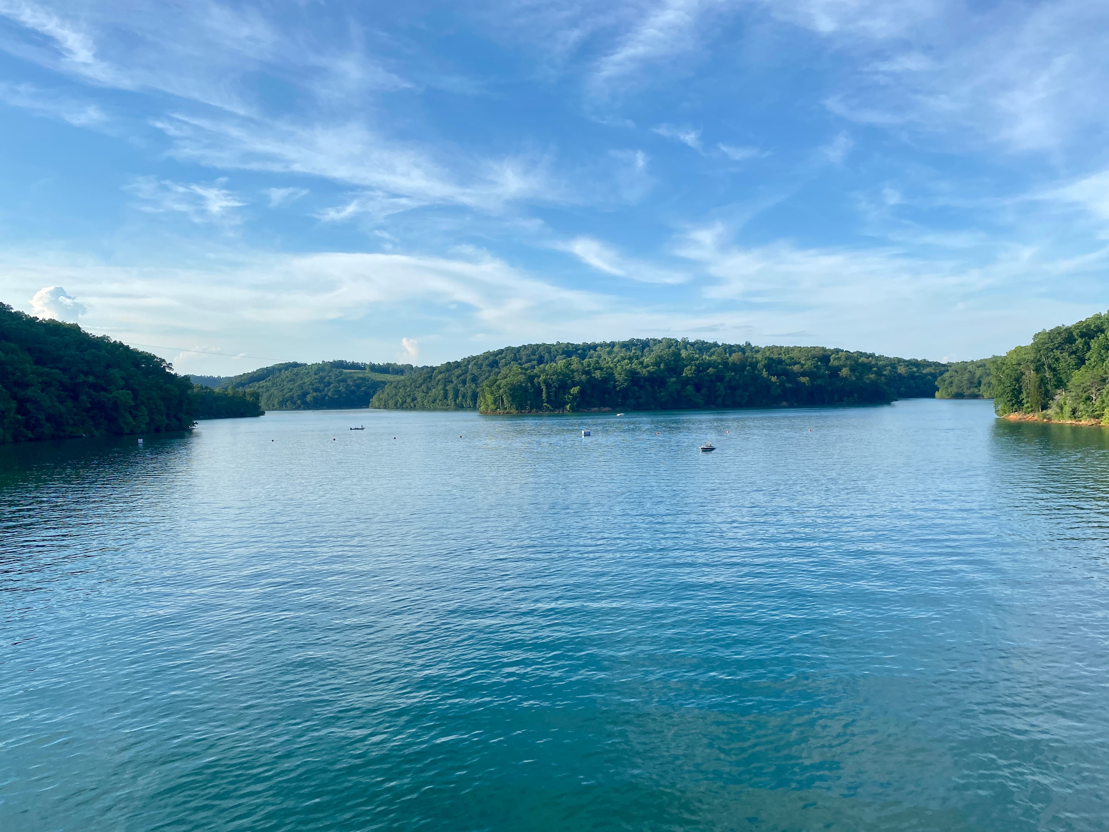
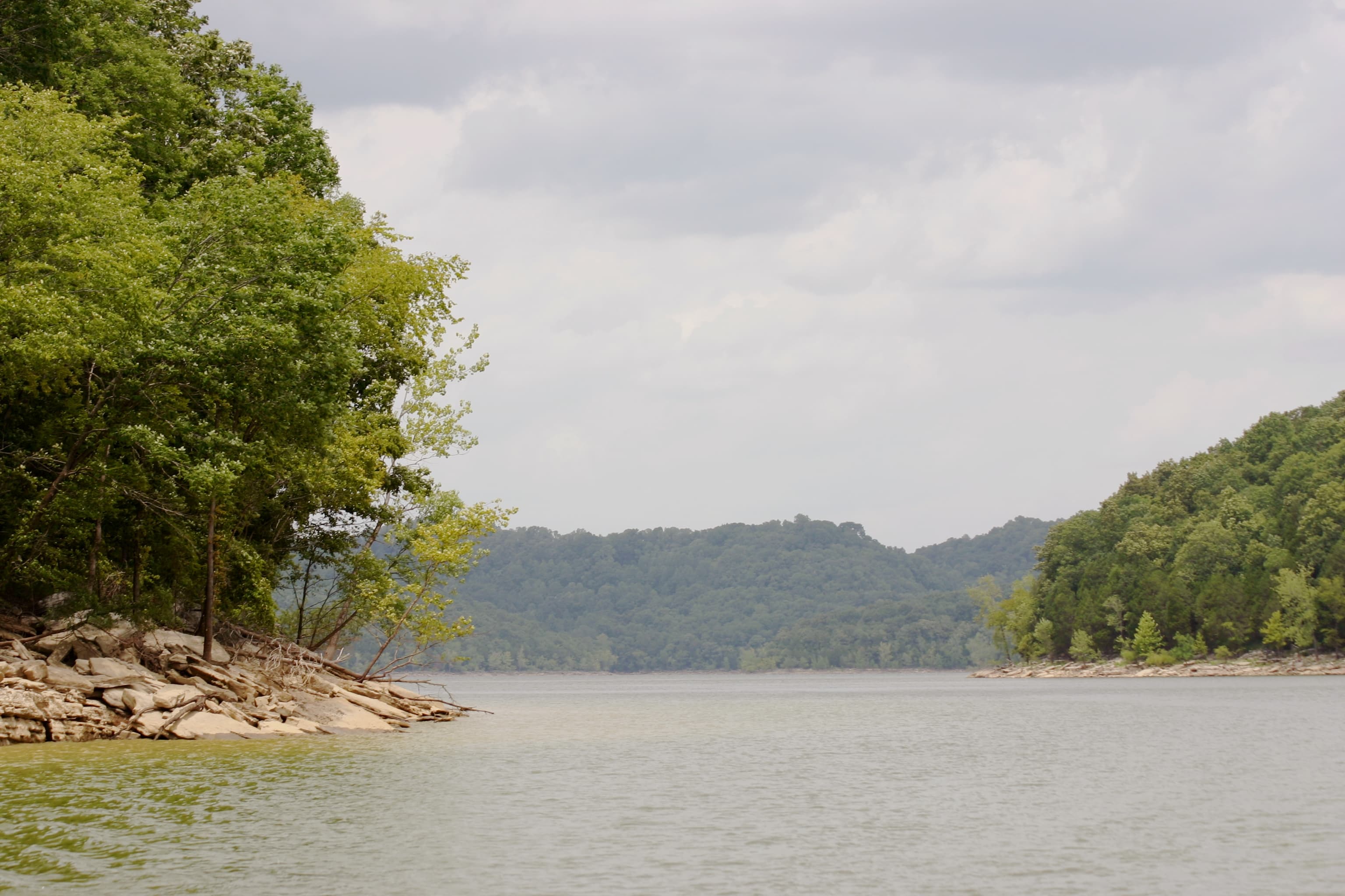
The Calfkiller River, Caney Fork River, and Falling Water River drain most of the county. FEMA's flood mapping covers Sparta city limits but leaves rural communities outside any designated zone. The March 2021 Calfkiller crest was one of the worst recorded, and flooding frequency on these systems has been increasing.
For any parcel near a creek or river corridor, the absence from a FEMA flood map is not a clearance. Flood insurance through the National Flood Insurance Program is available even in unmapped areas, but buyers have to seek it out proactively; it won't come up automatically at closing the way it does for Zone AE properties.
LandWise intersects each parcel boundary against NFHL data and reports the percentage of the property in each flood zone, the SFHA designation, and base flood elevation where FEMA has that data on file. For White County bottomland parcels, that breakdown shows whether the developable portion is actually at risk before you make an offer.
For what the FEMA zone designations mean for financing and construction requirements, see Understanding Tennessee Flood Zones.
Septic, Water, and Utilities
Septic: Tennessee's Division of Water Resources governs septic permitting statewide. White County's plateau soils are highly variable. Rocky, shallow ridge-top profiles often won't support a conventional system; bottomland parcels face high water-table problems. Budget several weeks for the soil evaluation process and verify that a usable septic site exists before committing to a purchase. See understanding perc tests in Tennessee for what the evaluation process actually involves.
Public water: The DeWhite Utility District (incorporated June 20, 1964) serves portions of western White County, purchasing supply from the Sparta Water System. Their office is at 1808 Smithville Hwy, Sparta, TN. Call to confirm whether service lines reach a specific parcel; rural water availability isn't guaranteed just because a neighbor is connected.
Private wells: Carbonate limestone underlies much of the plateau, and well yields and depth vary dramatically even within a small area. Most Tennessee wells require steel casing to at least 19 feet or five feet into bedrock. A productive neighbor's well is not a reliable predictor of what you'll find on an adjacent parcel.
Electric: Caney Fork Electric Cooperative (CFEC) serves White County as a TVA distribution partner. CFEC has operated since 1940 with nearly 32,000 customers across eight Upper Cumberland counties. Line extension costs apply for parcels far from existing infrastructure, and rural plateau terrain means those distances can add up.
Broadband: Ben Lomand Connect is the primary fiber provider, targeting 100 percent coverage in White County by 2026 through a Rural Utilities Service loan. As of mid-2024, Ben Lomand had reached roughly 92 percent of its original territory with fiber, which is ahead of most rural Tennessee counties. Coverage still needs verification for a specific parcel; Starlink is a reliable backup option where fiber hasn't arrived.
Where to Start
White County's appeal is genuine: affordable plateau land within 100 miles of three major metros, strong recreational access (Virgin Falls and Scott's Gulf on the plateau, Burgess Falls on the Putnam County border, the Caney Fork River for fishing and paddling), and broadband infrastructure that's meaningfully better than most rural counties.
The due diligence sequence that matters here: confirm whether the parcel is in Sparta city limits or unincorporated county, determine whether it sits in a creek or river drainage that floods outside FEMA coverage, and commission a soil evaluation before assuming a buildable site. Those three checks catch most of what surprises White County buyers.
For plat and subdivision questions in unincorporated White County, call Planning Director Tommy Lee at (931) 979-2170 or visit the County Courthouse at 1 East Bockman Way, Sparta, TN 38583.