Mouse Creek floods. Buyers focused on Bradley County's I-75 corridor sometimes overlook that the county also has two federally designated problem watersheds running through its urban core. The Army Corps of Engineers has been building flood control structures in Cleveland since 2017, which tells you something about what the FEMA flood maps look like near town.
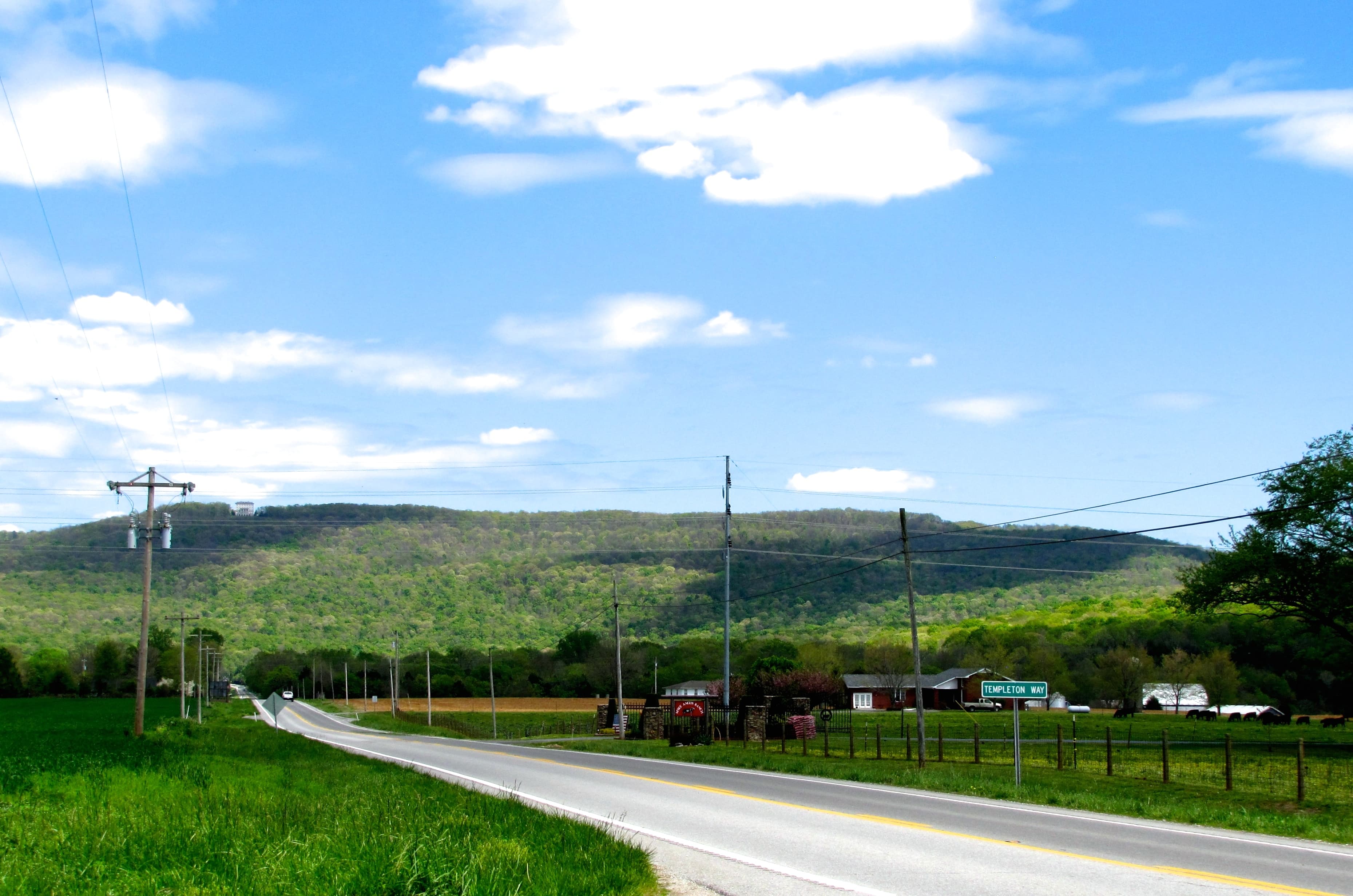
Bradley County is one of the faster-moving land markets in East Tennessee. Properties are going pending in about 68 days on average, and larger tracts (20-100 acres) are running $13,000-$19,000 per acre as of 2025. The county's position at the junction of I-75 and U.S. 11 makes it attractive for buyers who want rural acreage within reach of Chattanooga (about 30 miles south) or Knoxville (75 miles north).
Here's what to verify before you write an offer.
Zoning and Land Use
Unlike many rural Tennessee counties, Bradley County is fully zoned. There are no unzoned pockets. The Planning Department at 155 Broad Street NW in Cleveland administers a Zoning Resolution (revised October 2022) along with subdivision regulations, private road rules, and mobile home standards.
Most rural parcels fall under the FAR district (Forestry, Agricultural, Residential). FAR allows agriculture, forestry, single-family homes, and mobile homes on appropriate lots. If a parcel has an existing building or sits near a residential development, verify the actual zone on the county's GIS system before assuming it's FAR.
Bradley County's subdivision regulations require direct access to a publicly maintained road for any new lot. That rule catches a lot of buyers off guard when splitting larger tracts. If you're looking at a parcel that sits behind another without a recorded easement, read how landlocked Tennessee land works before proceeding. T.C.A. § 54-14-102 gives landlocked owners a statutory path to a 25-foot access easement, but it's a legal process that takes time and money, not a guaranteed quick fix.
Flood Zones and Drainage
The Hiwassee River forms Bradley County's northern boundary, and the Ocoee River runs along the south. Those are the big-picture waterways, but the flood risk most buyers encounter is closer in: the Mouse Creek and Fillauer Branch drainages that run through Cleveland proper.
The Army Corps of Engineers launched a flood risk management project in Cleveland after a feasibility study completed in 2017. The package includes detention structures on 12th Street (completed 2023) and Williams Street, plus four channel modifications. The September 2011 flood event is the benchmarking storm in the Corps' documentation, and it explains why Cleveland's floodplain ordinance requires structures in flood zones to have their first floor elevated at least one foot above the 100-year flood elevation, with a FEMA Elevation Certificate required.
For rural parcels away from the creek drainages, flood risk drops substantially. But it doesn't disappear. Any low-lying parcel near a tributary, a farm pond, or a bottom field deserves a look at the FEMA Flood Map Service Center (msc.fema.gov) before anything else.
If you're considering a parcel that might straddle a flood zone boundary, the useful question isn't whether it's in a flood zone at all. It's which portion is in the zone, and whether the buildable area is actually affected. LandWise intersects the parcel boundary with NFHL data and reports the percentage in each FEMA zone, the SFHA designation, and base flood elevation where available. That gives you a clear picture of whether the flood zone covers only the creek buffer or the area where you'd actually build.
Soils, Septic, and Water
Bradley County sits in the Ridge and Valley physiographic province. The geology is mostly Ordovician limestone and dolostone, with residual red clay loams on ridges and valley floors. Cecil and Pacolet series soils are common here, and both can be slow-draining on steep slopes.
That matters for septic. Tennessee's subsurface sewage disposal rules (TDEC Rules 0400-48-01, authorized under T.C.A. § 68-221-403) require a soil evaluation or percolation test before any septic permit is issued. The maximum acceptable perc rate is 105 minutes per inch. High-clay red soils frequently fail conventional perc tests on steeper slopes, which pushes buyers toward mound systems or drip irrigation. For more on what the numbers mean in practice, see understanding perc tests in Tennessee.
Water access depends on where in the county you're looking. Cleveland Utilities serves the city. The Ocoee Utility District (in service since 1964) covers parts of the county near the Ocoee corridor. The Eastside Utility District serves the east side. For rural parcels outside these service areas, private wells are standard. The Valley and Ridge carbonate aquifer system in East Tennessee typically yields wells 50-200 feet deep with reliable production, but you should arrange an independent water quality test before closing.
Power and Terrain
Volunteer Energy Cooperative (VEC) is the electric provider for unincorporated Bradley County. Their Cleveland office is at 5335 Georgetown Rd NW (423-476-6571). VEC distributes TVA power. If the parcel doesn't already have a meter or a visible power line within a few hundred meters, ask VEC for a line extension estimate before assuming it's straightforward. Extensions can run $15,000-$30,000 or more depending on distance and terrain.
The Ridge and Valley terrain means slope is a real factor on many Bradley County parcels. Elevation across the county ranges from around 700 feet in valley bottoms to nearly 1,200 feet on the ridges, and the flanks between them can exceed 30% grade. That affects both where you can place a building site and what driveway construction will actually cost. Have any slope-heavy parcel evaluated by a grading contractor before you fall in love with the view.
Property Taxes and the Greenbelt
The county property tax rate for unincorporated Bradley County is $1.4392 per $100 of assessed value (2023 tax year, with the certified rate recalibrated after the 2025 reappraisal under T.C.A. § 67-5-1701). Tennessee assesses residential property at 25% of appraised value, so a parcel appraised at $100,000 carries roughly $360 in annual county taxes.
If you're buying agricultural or forested land, Tennessee's Greenbelt Act (T.C.A. §§ 67-5-1001 through 67-5-1012) is worth understanding before you close. Qualifying land gets taxed at use value rather than market value, which can cut the tax bill significantly on larger tracts. The minimums are 15 acres for agricultural or forest designation, and 3 acres for open space. Agricultural parcels need to show average gross farm income of at least $1,500 per year across any three consecutive years to qualify.
The rollback provision is the part people miss: if the land later converts to non-qualifying use, the owner owes three years of back taxes for agricultural and forest designations, or five years for open space. That rollback tax follows the land, not the owner, so if you buy a Greenbelt-enrolled parcel and plan to develop it, factor that liability into your offer. Apply for enrollment or verify current status through the Bradley County Assessor's office at bradleycountyassessor.com.
Before You Make an Offer
Bradley County moves fast. These are the four things to nail down before writing an offer:
- Flood zone status for the specific parcel boundary (not just the general area)
- Zoning district and permitted uses via the county's GIS viewer
- Recorded road access or easement documentation for any landlocked parcel
- Soil evaluation suitability for septic, especially on slopes above 15%
The county planning office at 155 Broad Street NW can confirm zoning and subdivision rules. TDEC's Chattanooga office at (423) 634-5745 handles septic permit questions for Bradley County parcels.