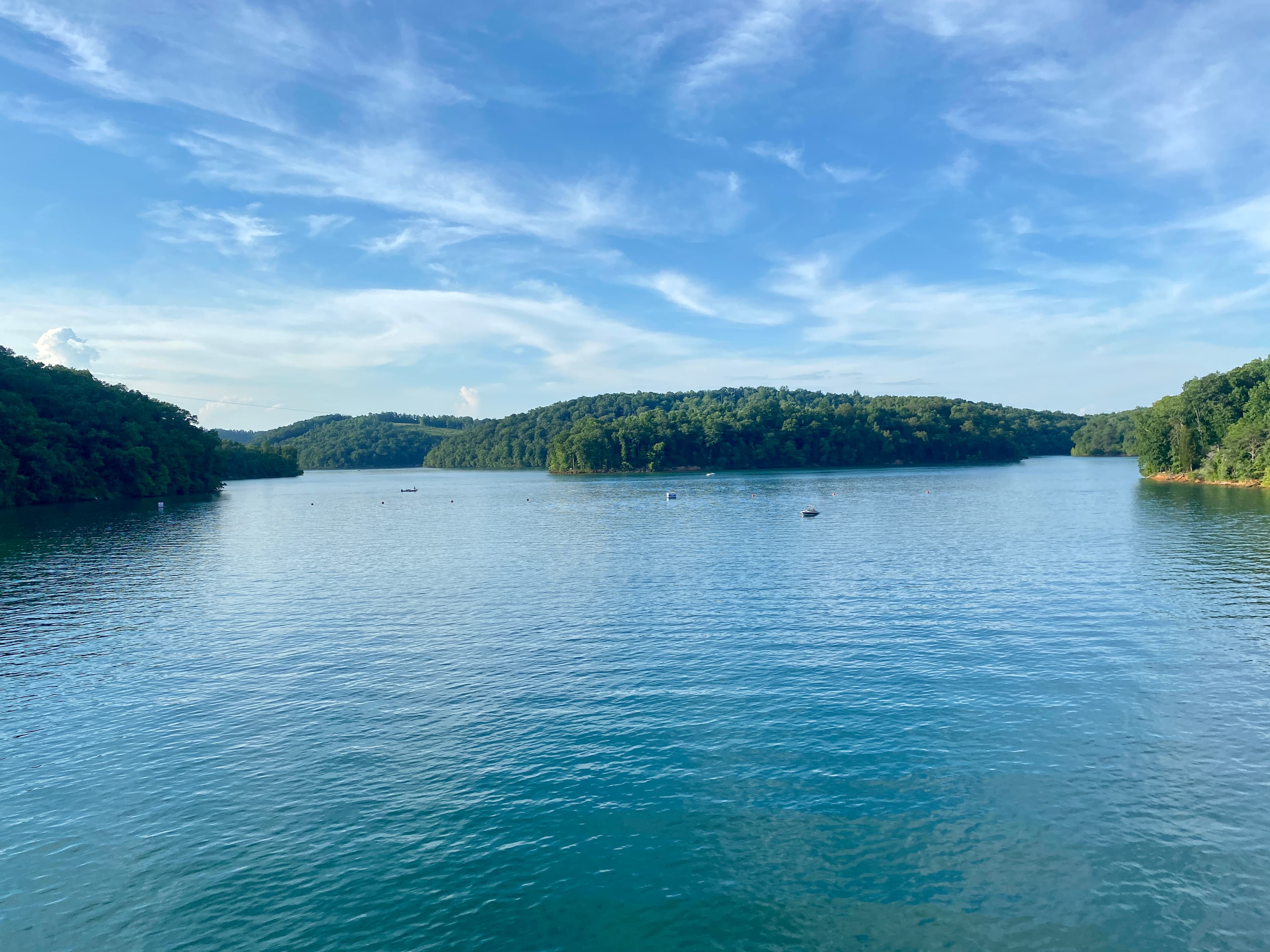
The Big South Fork of the Cumberland River cuts a gorge up to 600 feet deep through Fentress County's eastern edge. That terrain shapes almost every practical question you'll face when buying land here: where you can build, what a septic system will cost, whether you can reach your parcel in wet weather, and why prices vary so much from one hollow to the next.
The Lay of the Land
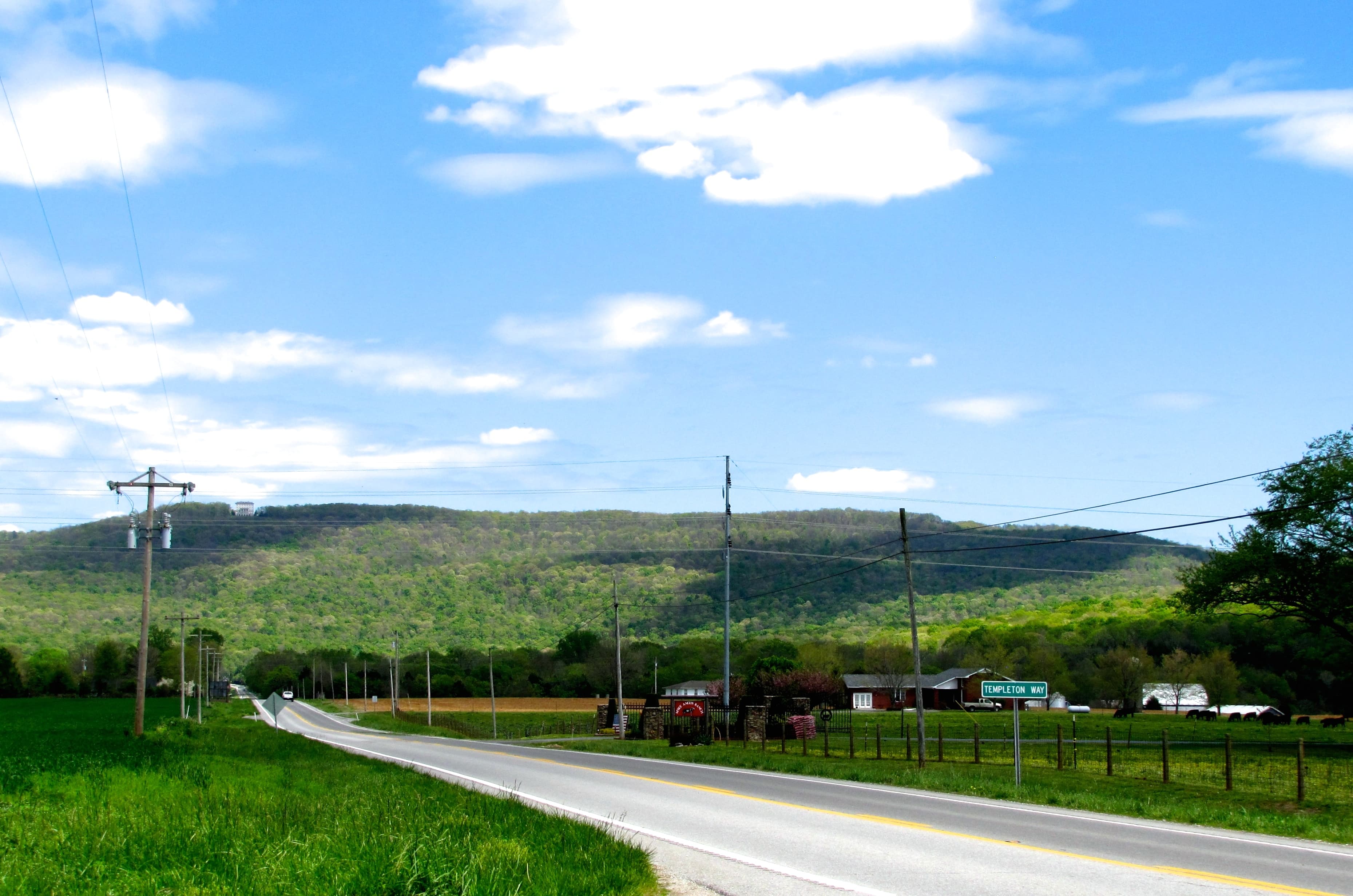
Fentress County covers 499 square miles of the Cumberland Plateau in northeastern Middle Tennessee, near the Kentucky border. The county seat is Jamestown, population roughly 1,900, sitting at about 1,700 feet of elevation. The surrounding plateau is generally flat to gently rolling at that height, but river gorges cut sharply downward in both the eastern and western parts of the county.
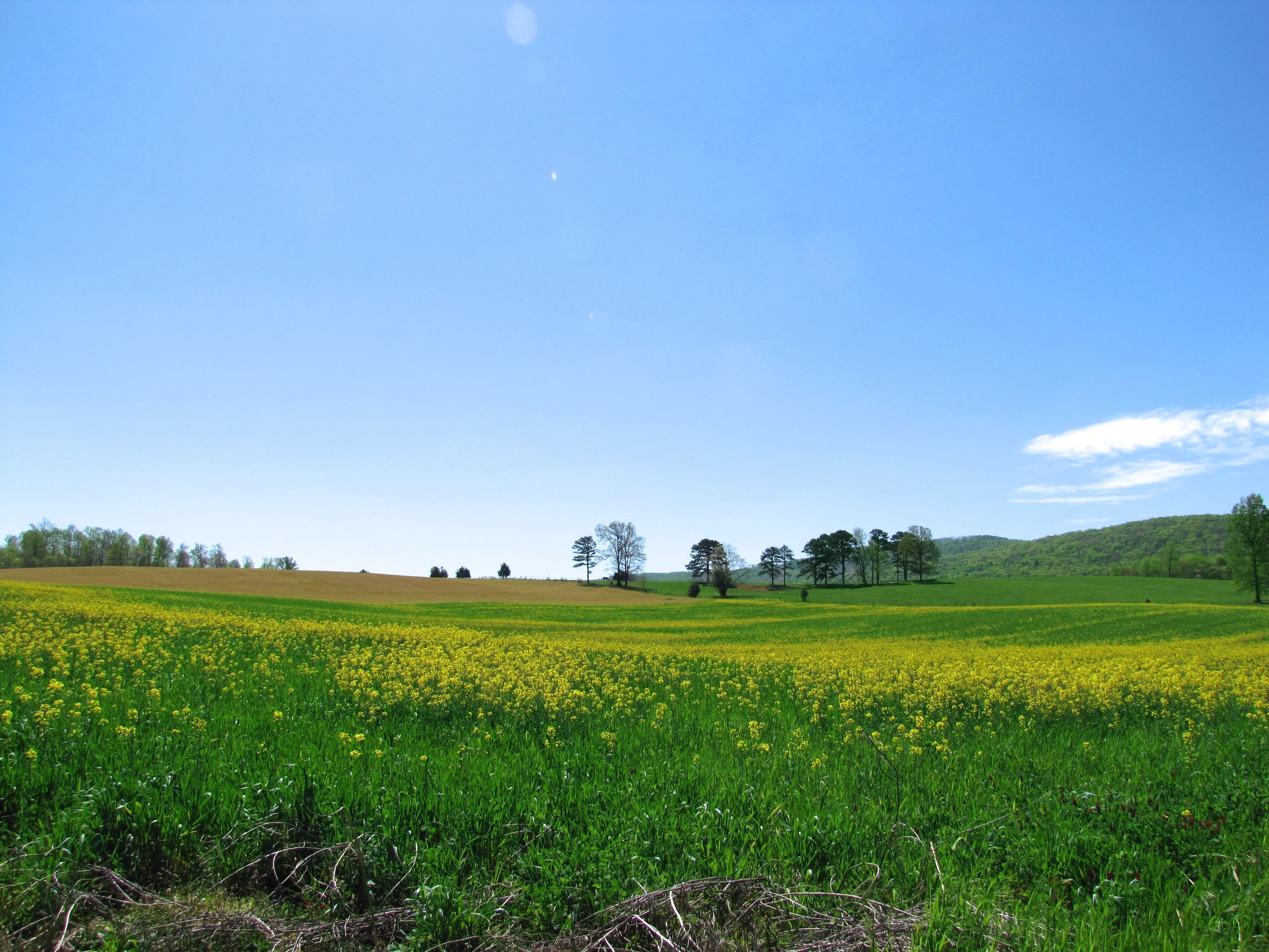
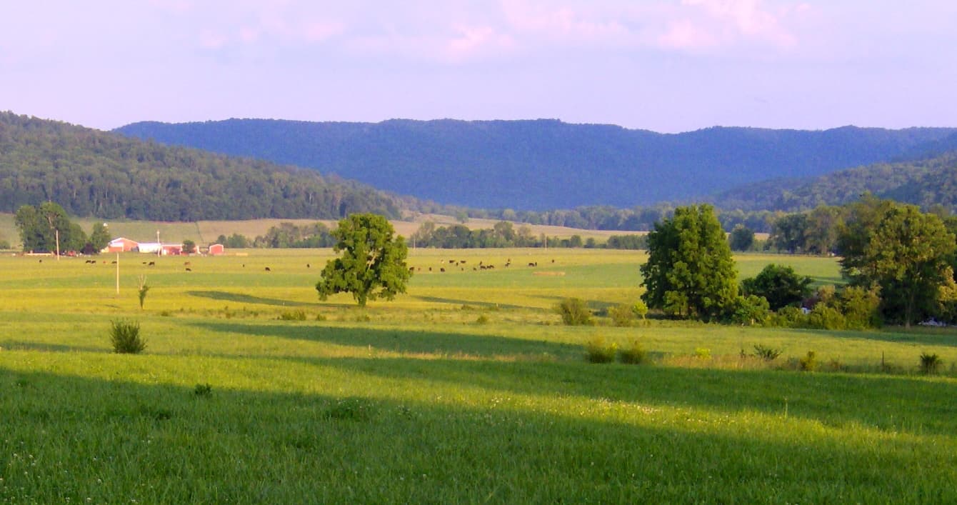
Two watershed systems drain the county: the Obey River and its East and West forks run west, while the Big South Fork of the Cumberland runs east. The Three Forks of the Wolf River valley contains the county's most productive bottomland. Most of the county is forested with oak, hickory, and poplar.
Elevation ranges from roughly 800 feet in the deepest gorge bottoms to over 1,800 feet on the plateau surface. Gorge-rim parcels come with dramatic views and steep access; plateau parcels tend to offer level building sites with forest cover and sandstone bedrock not far below.
No Countywide Zoning
Fentress County has not adopted countywide zoning for its unincorporated areas. Tennessee Code Title 13, Chapter 7, Part 1 makes county zoning optional, and Fentress has not passed a zoning ordinance. The county confirms this on its own website at fentresscountytn.gov/zoning-and-permitting.
The City of Jamestown and the town of Allardt both have municipal zoning within their limits. Outside those areas, land use in unincorporated Fentress County is unrestricted by county regulation, subject only to state health and safety codes: septic and well permits, and structural building codes where they apply.
For buyers accustomed to suburban zoning, this means fewer restrictions on outbuildings, livestock, home-based operations, or recreational structures. The trade-off: your neighbors face the same lack of restrictions. There's no zoning board to prevent a commercial operation from appearing next to your hunting property.
Septic Is the Hard Part
The soil question in Fentress County comes down to one fact: the plateau sits on Pennsylvanian-age sandstone and shale bedrock, often only two to four feet below the surface on upland parcels. Conventional septic systems need enough soil depth for effluent treatment before it reaches impermeable rock. When bedrock is shallow, standard perc tests fail.
That doesn't rule out a septic permit, but it forces alternative systems: low-pressure pipe, mound systems, or aerobic treatment units, all of which cost more to install and maintain than a conventional gravity system. Tennessee Code § 68-221-403 requires a TDEC permit for any subsurface sewage disposal system. For rocky sites, a state-licensed soils consultant must produce an intensive soils map before TDEC will evaluate the parcel for an alternative system. Budget this step into your due diligence timeline; the permit target is 45 calendar days from a complete application, but the site evaluation happens before you even submit.
Before making an offer on any rural Fentress County parcel, find out whether an existing septic system is permitted and functioning, or whether a perc test has been conducted. Unperked land isn't a deal-breaker, but it changes your timeline and cost exposure considerably. Understanding perc tests in Tennessee covers what the testing process looks like and what results mean.
The soil profile also matters before you get to a field test. LandWise pulls SSURGO drainage class, hydrologic group, water-table depth, and depth-to-restrictive-layer for any parcel, then assigns a perc-risk rating (high/moderate/low) and a septic-feasibility verdict (suitable/marginal/unsuitable). On sandstone plateau soils, restrictive layers appear quickly. That verdict doesn't replace a TDEC permit, but it tells you which parcels are worth ordering a site evaluation for before you spend money on an offer.
Road Access and Private Roads
Private roads are common in Fentress County, particularly on parcels reached via hollow roads, old logging tracks, or former timber-company access. The county maintains public roads but won't maintain private ones. Under Tennessee's Uniform Highway Law, using county equipment on a private road is a Class C misdemeanor.
Before purchasing, verify whether the road serving a parcel is county-maintained. The Fentress County Highway Department at 527 Fairgrounds Rd, Jamestown, TN 38556 (931-879-7913) can confirm road status for a given address. For parcels served by private roads, look for a recorded easement in the deed chain. Tennessee Code Title 54, Chapter 14 governs private roads; a right-of-way must be deeded and recorded, not just a verbal arrangement with an adjacent landowner.
Landlocked parcels do exist here, most often on old timber tracts that were subdivided without recording access easements. If a parcel has no visible county road frontage, resolve the access question completely before closing. Landlocked land and road access in Tennessee covers the legal framework for these situations in detail.
Water, Power, and Getting Connected
Public water service in unincorporated Fentress County is limited to areas served by utility districts near Jamestown and Allardt. Most rural parcels depend on drilled wells. On the Cumberland Plateau, drilling through fractured sandstone and shale typically means going 100 to 300 feet to reach productive water-bearing fractures. You're not tapping a sand-and-gravel aquifer; you're drilling until you hit fractures with enough yield to sustain a household. Budget $25 to $50 per foot plus casing.
Electricity reaches most county roads, but remote parcels at the end of long hollow tracks may sit far from the nearest line. Longer extensions run $15,000 or more depending on terrain and your cooperative's policies.
Broadband in unincorporated Fentress County is limited. Fixed wireless and satellite are the most common options outside Jamestown proper; fiber buildout has not reached most rural areas.
Big South Fork and Pickett State Park
The Big South Fork National River and Recreation Area, authorized by the Water Resources Development Act of 1974, covers 125,000 acres across Scott, Fentress, Morgan, and Pickett counties in Tennessee (plus McCreary County, Kentucky). Most of its Fentress County acreage sits in the eastern part of the county, near Pall Mall and the Kentucky border.
Proximity to the park pushes recreational land values upward. The area has extensive horse trails, whitewater on the Big South Fork and Clear Fork rivers, rock climbing routes, and backcountry hiking. Out-of-state buyers actively compete for parcels in this corridor. Pickett CCC Memorial State Park, 922 acres adjoining Big South Fork just inside the county, adds another 58-plus miles of trail access, including natural arches and caves.
One point to verify before closing: the NPS authorized boundary matters. Private inholdings within that boundary exist, and the National Park Service has acquired some over time through the Land and Water Conservation Fund. If a parcel sits within the authorized boundary, consult an attorney before assuming full development freedom. Federal acquisition interest can affect long-term plans.
Pricing and Ownership Costs
Active listings in Fentress County run roughly $12,000 to $13,000 per acre at asking price, with closed sales tracking lower, around $5,000 to $6,000 per acre based on recorded transactions. Timber value, road quality, and proximity to Big South Fork account for most of the spread. Parcels with a maintained road, a permitted septic system, and park adjacency sit at the high end; unperked, road-questionable parcels in the interior sit at the low end for good reason.
Fentress County's effective property tax rate is around 0.34%, below the Tennessee statewide average. Annual holding costs are low, which attracts buy-and-hold timber and recreational buyers.
One final check before closing: in Tennessee, mineral rights can be severed from surface rights, and timber rights can be separately conveyed. Both situations are common in counties with long timber-company histories. A standard title search should catch these, but ask your attorney specifically about mineral reservation clauses and prior timber conveyances in the chain of title. That question is worth putting in writing.