
Tims Ford Lake has 250 miles of shoreline and just 10,700 water acres. That ratio matters: there is far more shoreline per square mile of lake here than on most TVA reservoirs, which means a larger fraction of the surrounding land qualifies as waterfront-adjacent. Add the fact that Tims Ford earned a Bill Dance Signature Lake designation in December 2021, and you have one of Middle Tennessee's most sought-after rural land markets packed into a county most buyers outside the region have barely heard of.
Franklin County sits in south-central Tennessee, bordered by Alabama to the south and with the University of the South at Sewanee anchoring its eastern edge. The county seat is Winchester, about two hours south of Nashville and roughly an hour from Huntsville, Alabama, giving it an unusually wide draw from two distinct job markets.
The Terrain Varies More Than You'd Expect
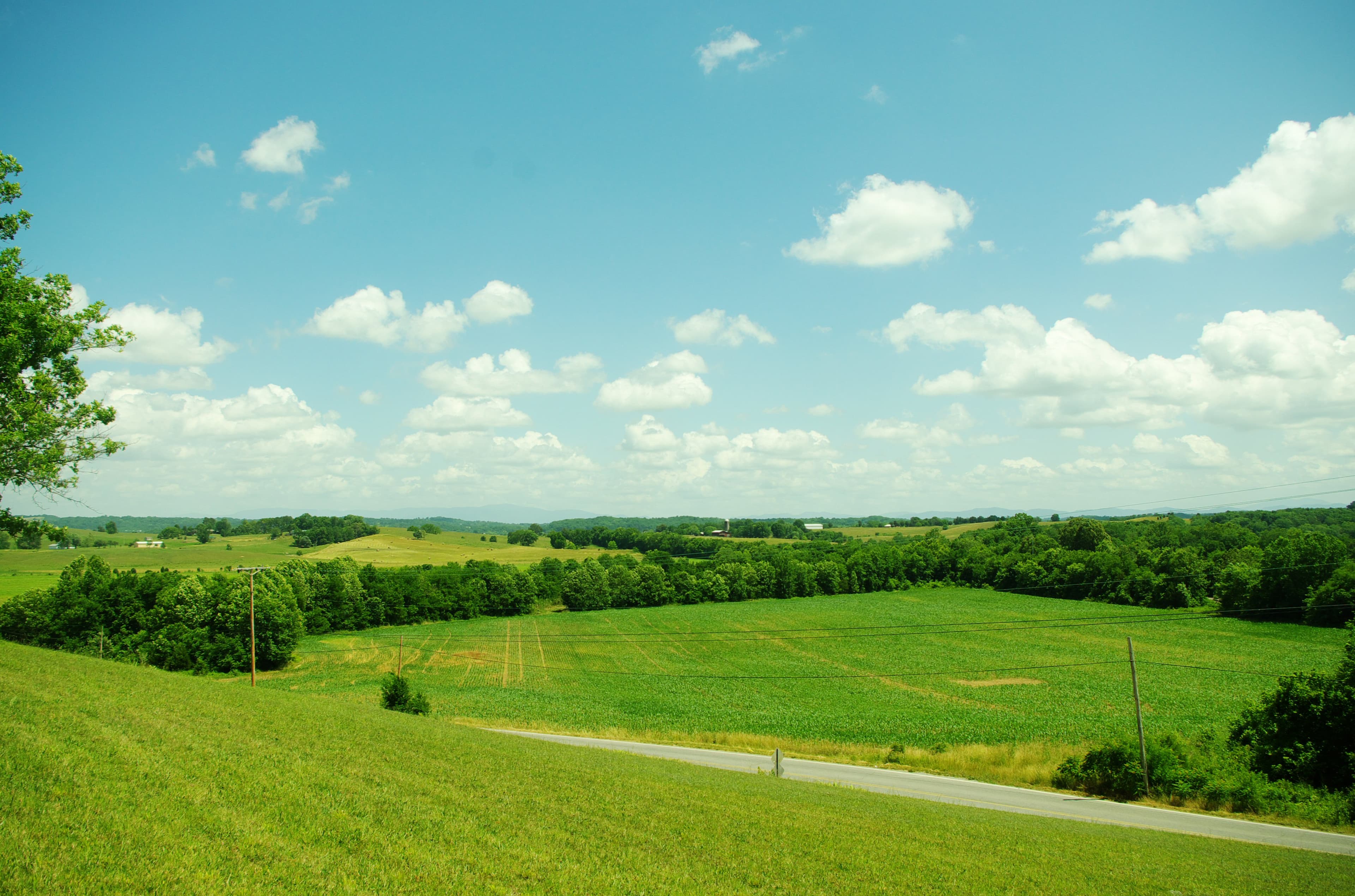
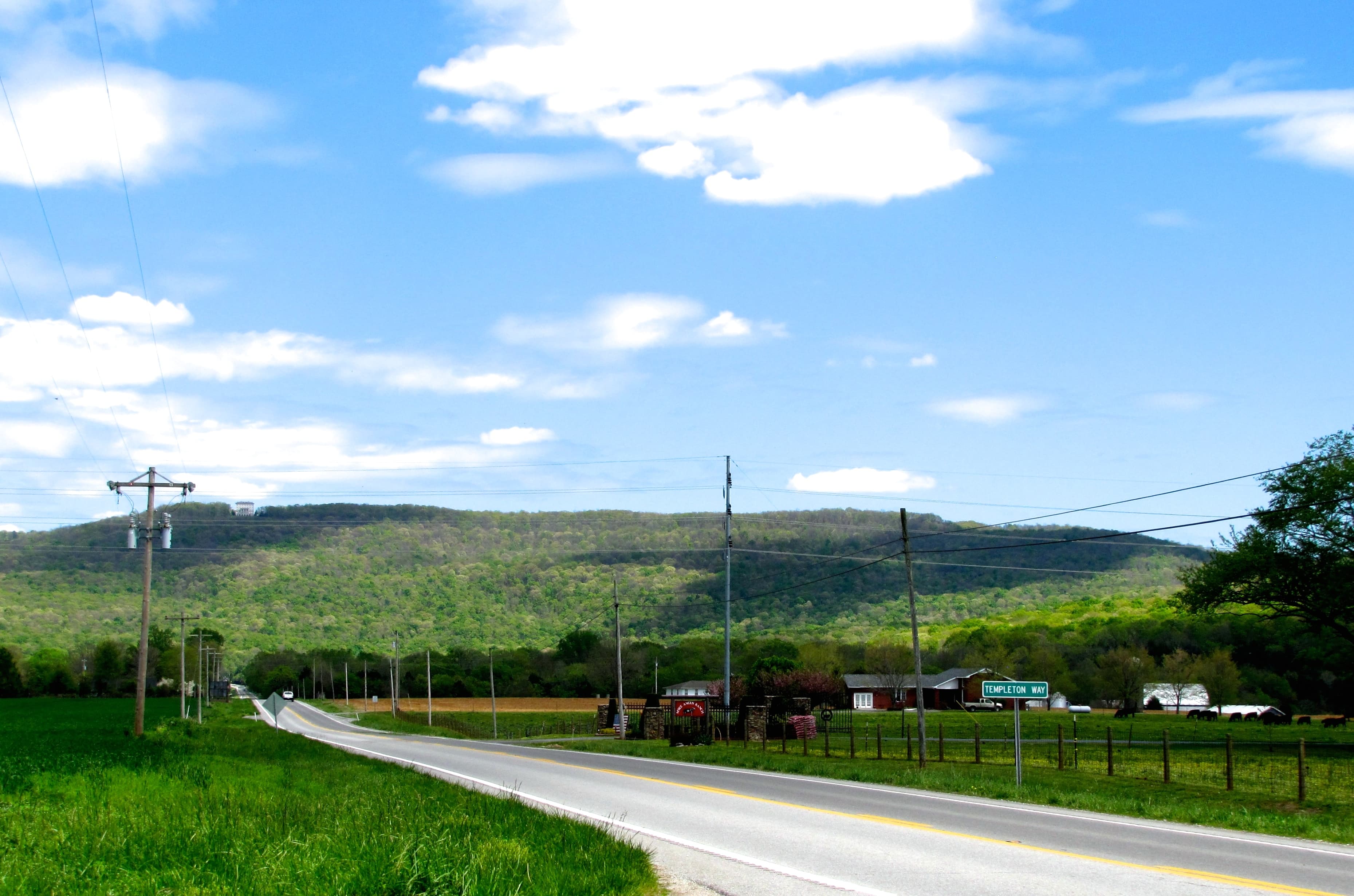
The county's western and central portions sit on the Eastern Highland Rim: rolling to gently undulating, limestone-underlain land suited for hay, pasture, and cattle. Cross into the eastern third and the terrain sharpens as it climbs onto the Cumberland Plateau. That elevation change exceeds 1,300 feet from basin floor to Plateau rim, compressed into a short stretch of road. The Sewanee Natural Bridge, a 25-foot sandstone arch spanning 50 feet, gives you a sense of the geology that defines the county's eastern edge.
The practical consequence for land buyers: which part of the county you're in shapes nearly every factor that matters. Bottomland parcels along the Elk River carry different soil conditions, flood exposure, and access challenges than upland pastures on the Highland Rim. Plateau-edge tracts near Sewanee have steep terrain, timber value, and limited agricultural use. Generalizing across the county will lead you astray.
Tims Ford Lake and the TVA Factor
TVA built Tims Ford Dam between 1966 and 1970, impounding the Elk River to create the reservoir. The agency holds approximately 6,453 acres across 148 parcels around the lake. That land is not for sale. What that means in practice: buyers purchasing property adjacent to the lake are buying the upland above the TVA-managed shoreline, not the shoreline itself. Dock construction requires a TVA permit issued to qualifying adjacent landowners.
This arrangement is standard on TVA lakes, but worth understanding before you assume a "lake lot" carries unconditional waterfront rights. Any listing noting "dock permittable through TVA" means the dock hasn't been built yet and approval is not guaranteed. TVA reviews dock applications against its land-use designations for each shoreline segment.
Tims Ford properties at the high end run well past $1 million. Entry-level lake-access lots start in the low-to-mid $300,000 range. Inland rural parcels away from the lake, 10 to 50-acre tracts on the Highland Rim, typically trade between $9,000 and $17,000 per acre depending on terrain, road access, and timber or pasture value.
Zoning: Franklin County Has It
Most rural Tennessee counties have no zoning outside of incorporated towns. Franklin County is an exception. The county adopted its Zoning Resolution in April 1974 and has maintained a regional planning commission and Board of Zoning Appeals since. The Franklin County Planning and Zoning Department, located at 1 South Jefferson Street, Basement Room 109 in Winchester, administers zoning for all unincorporated areas.
For buyers, this means verifying the zoning district before purchasing. The resolution controls permitted uses, setback requirements, and minimum lot sizes. A tract that looks buildable on a plat map may sit in an agricultural zone with restrictions on subdivision or residential development.
Incorporated municipalities have their own separate codes. For unincorporated land, call the county planning department at (931) 967-0981 or request a zoning verification letter before you make an offer.
Soil, Septic, and Well Water
The dominant soils on Franklin County's Highland Rim uplands belong to the Dickson series (Tennessee's official state soil), along with Mountview and Loring series. All three are silty loam soils formed in a loess mantle over limestone residuum. The detail that matters most for builders is the fragipan: a dense, slowly permeable subsoil layer that restricts vertical drainage and can create perched water tables after heavy rain.
Fragipan soils carry moderate to severe limitations for conventional septic systems. That doesn't mean you can't get a septic permit on a Franklin County parcel, but it does mean the soil evaluation matters. A site evaluation by a licensed soil scientist is required before TDEC will issue a subsurface sewage disposal permit. Karst features (sinkholes, fractured limestone) are also present in parts of the county; in those areas, soil suitability for septic can vary sharply from one end of a lot to the other.
For a broader look at how Tennessee regulates soil-based septic systems and what common soil limitations mean in practice, see our post on soil types and septic systems in Tennessee.
Before signing a purchase contract on any parcel where you plan to build, it's worth knowing whether the soil will support a standard septic system. LandWise pulls SSURGO drainage class, hydrologic group, water-table depth, and depth-to-restrictive-layer for the parcel, then assigns a perc-risk rating (high, moderate, or low) and a septic feasibility verdict. That doesn't replace a county perc test, but it tells you which parcels are worth ordering one for before you've committed to anything.
Rural electric service in Franklin County comes primarily from Duck River Electric Membership Corporation (DREMC), founded in 1936 and serving about 72,700 members across southern Middle Tennessee. Power extension costs follow the standard co-op structure: typically no charge within 300 feet of an existing line, with per-foot charges beyond that.
Well water is standard for rural parcels outside municipal service areas. Highland Rim limestone aquifers produce water at a range of depths, typically 80 to 300 feet for residential wells. TDEC requires a Notice of Intent to Drill permit ($75 fee) and a licensed driller under TCA § 69-10-102; homeowners cannot drill their own wells.
Flood Zones, Karst, and Site Risks
Tims Ford Dam was designed with 219,600 acre-feet of flood storage, which reduces downstream flood risk along the Elk River through Winchester and Decherd. Parcels upstream of the lake, on the Elk and its tributaries, still carry FEMA Zone AE designations in the lowlands. Outside the river bottoms, most Highland Rim upland parcels fall in FEMA Zone X (minimal flood hazard).
Creek corridors throughout the county have mapped floodplains that can extend well into adjacent parcels. Always check the FEMA Flood Map Service Center at msc.fema.gov for the specific FIRM panel before purchasing any bottomland or near-stream property. Franklin County Planning and Zoning administers local floodplain regulations under the NFIP.
Karst is a separate risk. The Eastern Highland Rim and Plateau edge sit on St. Louis Limestone, which dissolves over time to form sinkholes, caves, and losing streams. Buyers of upland parcels in limestone terrain should look for closed depressions on topographic maps and consider a geologist's review if they plan to build near any apparent karst features.
Property Taxes and the Greenbelt
Vacant rural land in Franklin County is assessed at 25% of appraised value, with a 2024 county tax rate of $1.7185 per $100 of assessed value. On a 50-acre parcel appraised at $8,000 per acre ($400,000 total), that works out to roughly $1,715 per year at market-value assessment.
Tennessee's Agricultural, Forest and Open Space Land Act (TCA §§ 67-5-1001 through 67-5-1050) lets qualifying farmland be assessed at agricultural use value rather than market value. The basic threshold for agricultural classification under TCA § 67-5-1004 is 15 contiguous acres in active agricultural production, with a presumption of eligibility if the land generates at least $1,500 per year in average gross agricultural income over any three-year period. Well-managed hay or pasture acreage in Franklin County commonly meets this threshold.
The rollback provision is the part buyers miss. When greenbelt-designated land is converted to a non-qualifying use, the state collects three years of back taxes representing the difference between what was paid and what would have been owed at market-value assessment. Buyers acquiring greenbelt-classified land should negotiate who bears rollback liability if they plan to subdivide or develop.
For a full explanation of how Tennessee's greenbelt law works and how to calculate potential savings, see our post on property taxes for vacant land in Tennessee.
Franklin County's mix of lake access, varied terrain, and active agricultural land makes it one of the more complex counties to evaluate quickly. The zoning, the TVA shoreline regime, the karst risk, and the fragipan soils all require parcel-level investigation. A property on Highland Rim pasture ground and a property on a Plateau-edge timber tract are different purchases in almost every dimension that matters. Start with the specific parcel, not the county average.