For the third year running, Cookeville has appeared on growth rankings that usually feature Sun Belt metros ten times its size. In 2025, the Tennessee State Data Center ranked the Cookeville micropolitan area 4th nationally for numeric population growth among all U.S. micropolitan areas. For land buyers, that trajectory creates both opportunity and pressure: rural parcels in Putnam County are still priced well below comparable land in Nashville's outer suburbs, but that gap narrows every year.
What makes Putnam County unusual to navigate isn't just the growth. It's a specific combination: no county-wide zoning, significant terrain variability across three physiographic regions, a property tax exemption worth understanding before you close, and flood and tornado hazards that show up unevenly across the landscape. Getting these details right before making an offer can make a substantial difference in what you actually pay and what you can actually do with the land.
No Zoning Outside City Limits
The Putnam County Regional Planning Commission confirms it plainly on its own website: "Currently Putnam County has no county-wide zoning regulations." In unincorporated areas, there are no land-use restrictions on agricultural activities, timber operations, accessory structures, or the mix of uses on a parcel.
This cuts both ways. As a buyer, you have more freedom to use your land without seeking variances or conditional use permits. But your neighbors have the same freedom. A parcel adjacent to a quiet hay field today could sit next to a poultry house or a salvage yard tomorrow.
What the county does regulate in unincorporated areas: subdivision activity (any division that creates a new lot under 5 acres, or that requires a new road or utilities, must go through the Planning Commission), floodplain development within the 100-year FEMA flood zones, building codes for structures, and cell tower placement. Inside Cookeville, Algood, Baxter, and Monterey city limits, each municipality's own zoning ordinances apply.
If a parcel you're considering sits near the edge of an incorporated town, confirm whether that town claims extraterritorial jurisdiction over adjacent unincorporated land.
Property Taxes and the Greenbelt Advantage
Tennessee assesses land at a fraction of appraised value. Under TCA § 67-5-801, residential and agricultural land is assessed at 25% of appraised value. The 2025 Putnam County rate in unincorporated areas runs about $2.66 per $100 of assessed value.
On a 50-acre parcel appraised at $20,000 per acre, the math works out to a tax bill around $6,650 per year. That's real money for a buyer who plans to hold the land before building.
This is where Tennessee's Agricultural, Forest and Open Space Land Act of 1976 matters. Under TCA §§ 67-5-1001 through 67-5-1050 (universally called "greenbelt"), qualifying land is assessed at its current agricultural or forest use value rather than market value. For rural land near a growing metro, the difference between use value and market value can be enormous. Agricultural land qualifies with 15 acres and documented farm production averaging at least $1,500 in gross income per year. Forest land also requires 15 acres, plus a filed forest management plan. Applications go to the Property Assessor's office by March 15 each year.
The critical risk: when greenbelt land is sold or changes use, rollback taxes kick in. For agricultural and forest land, the county recovers three years of the difference between what you paid under use value and what you would have paid at market value. Get a rollback calculation from the seller before closing. This is one of the most consistent surprise costs in Tennessee land transactions, and buyers who don't ask for it sometimes absorb a tax bill they didn't anticipate.
Putnam County's Property Assessor is at 300 E. Spring St., Room 1, Cookeville, TN 38501 (931-528-8428). If you have questions about current greenbelt enrollment on a parcel, that's your first call.
For a broader look at how Tennessee property taxes work on vacant and rural land, see our guide to Tennessee property taxes for vacant land.
Flood Zones and Tornados
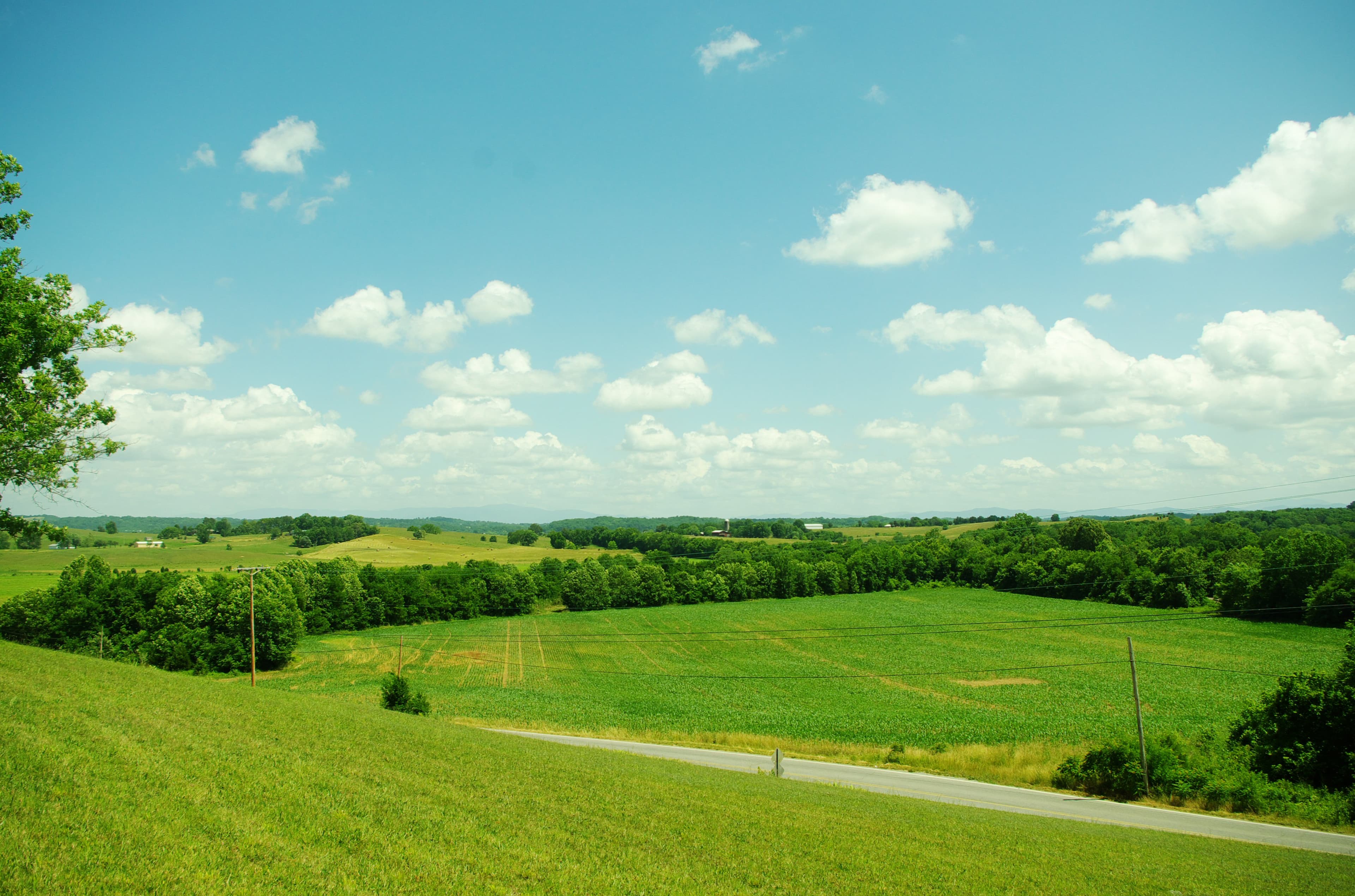
Putnam County's terrain spans the Cumberland Plateau, the Highland Rim, and the edge of the Central Basin. Elevation ranges from plateau land at 1,700 to 1,900 feet down to river valleys several hundred feet lower. The variation matters for hazard assessment.
The Falling Water River and Calfkiller River, along with numerous creek tributaries, create floodplain areas that show up on FEMA Flood Insurance Rate Maps. Putnam County has adopted floodplain zoning only within those 100-year FEMA zones. Any parcel along a creek or river bottom should be checked against the FEMA Flood Map Service Center (msc.fema.gov) before purchase. Plateau-top parcels carry far less flood risk.
A separate hazard gets less attention in most land guides: tornados. On March 2-3, 2020, an EF-4 tornado with 175 mph winds struck western Putnam County near Baxter in the early morning hours. It killed 19 people, injured 87, completely destroyed 30 to 35 homes, and caused an estimated $100 million in damage. It ranks as the 6th deadliest tornado in Tennessee's recorded history. Any buyer planning to build a structure on open plateau land in Putnam County should budget for a storm shelter or safe room from the start. Adding one after construction is significantly more expensive.
Road Access: The Step Most Buyers Skip
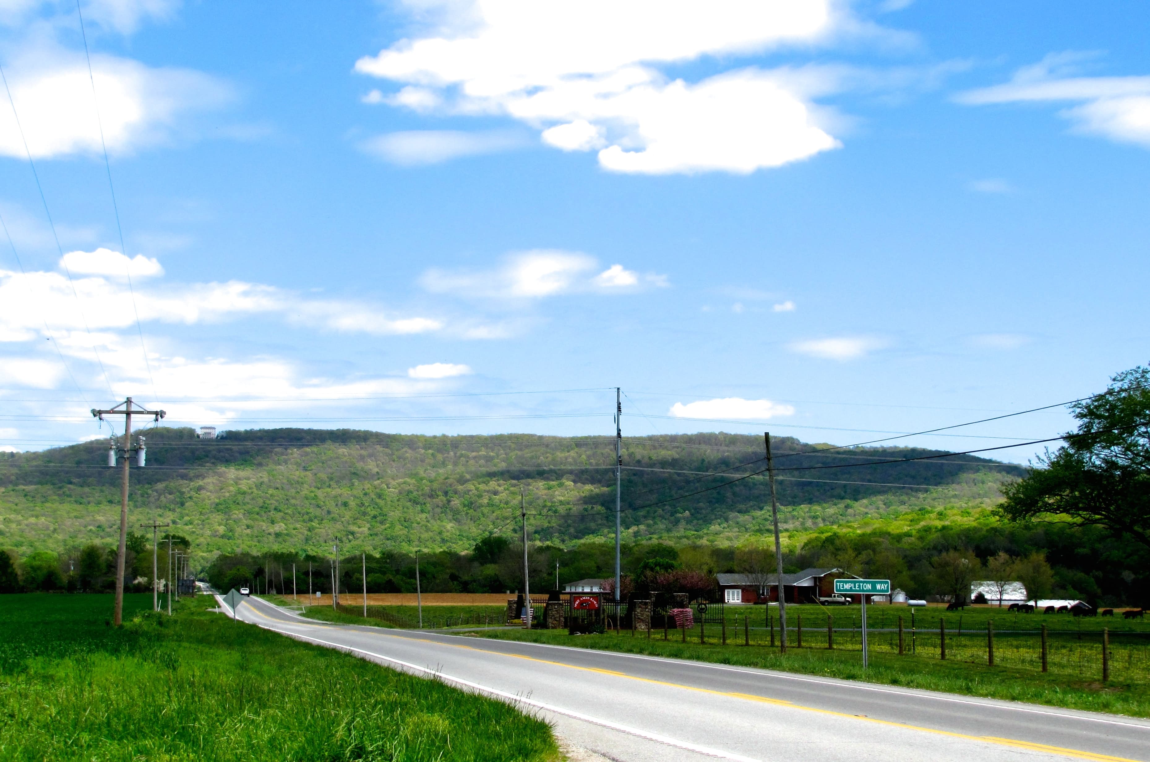
In Putnam County's rolling, gorge-cut terrain, road access is not always obvious from a listing or an aerial view. Two issues come up repeatedly.
First: Putnam County maintains only county-designated public roads. A road that exists on the ground, even one that's been used for decades, isn't a county road until the County Commission formally votes to accept it. County road materials and maintenance crews cannot work on private roads. If access to a parcel runs across a private road, the entire maintenance burden falls on the landowners who use it.
Second: Some areas of the county require routing through an adjacent county to reach certain parcels, a consequence of the plateau's gorge geography. The county's own documentation specifically notes that parts of Cumberland Cove and Glade Creek require this kind of detour. Confirm access physically before closing, not just on a map.
For landlocked parcels, Tennessee's Private Ways Act (TCA §§ 54-14-101 through 54-14-120) allows landowners without road access to petition for a legal easement through a neighboring property. These proceedings take 6 to 18 months and can cost $5,000 to $25,000 or more. It's a legal remedy, not a routine path to access. Our guide to landlocked land in Tennessee covers how that process works in practice.
Confirming legally documented road access from a public road is a job for a title search and survey, not a listing description.
Soil, Septic, and Well Water
Putnam County's terrain variability creates real uncertainty around septic feasibility. Plateau soils can be rocky and shallow to bedrock. Clay-heavy soils on the Highland Rim restrict drainage. Both create conditions where a conventional septic system may not pass a perc test.
Under TCA §§ 68-221-401 through 68-221-419, every new septic installation requires a permit from TDEC, no exceptions. Before you get a permit, you need a soil evaluation from a licensed professional. The critical threshold: soil must achieve a percolation rate of no more than 105 minutes per inch. Sites that don't meet that threshold require an alternative system (engineered mound, drip irrigation, aerobic treatment) that costs significantly more than a conventional lateral field. There is no exemption for small lots, rural parcels, or owner-builders.
The question isn't simply whether the parcel will eventually support a septic system. It's whether the specific site you plan to build on, at the required setbacks from wells, property lines, and any streams, has enough qualifying soil to support the system for the bedroom count you're planning. Get the soil evaluation done before you close.
If you want a preliminary read before spending money on a professional evaluation, LandWise pulls SSURGO drainage class, hydrologic group, water-table depth, and depth-to-restrictive-layer for any parcel in Putnam County, then assigns a perc-risk rating (high, moderate, or low) and a septic-feasibility verdict (suitable, marginal, or unsuitable). It doesn't replace the county's required perc test, but it tells you which parcels are worth ordering one for.
For well water, new installations require a permit through the Putnam County Health Department (putnamhealth.com) and a Notice of Intent filed with TDEC ($75 fee). Only licensed drillers can drill. Drilling costs in Tennessee typically run $15 to $35 per foot, and Putnam County's mixed geology can push costs toward the higher end.
What Brings Buyers to Putnam County
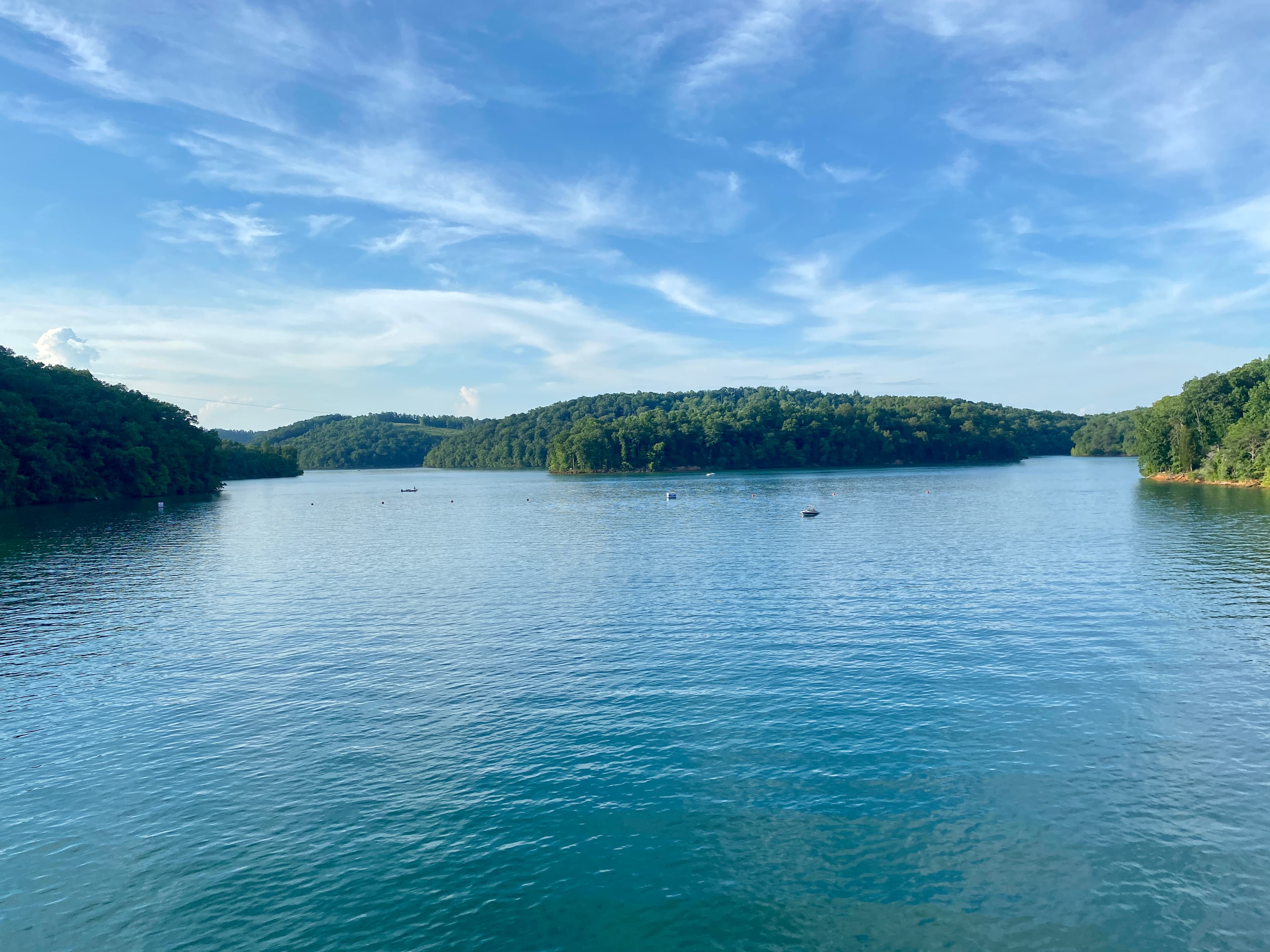
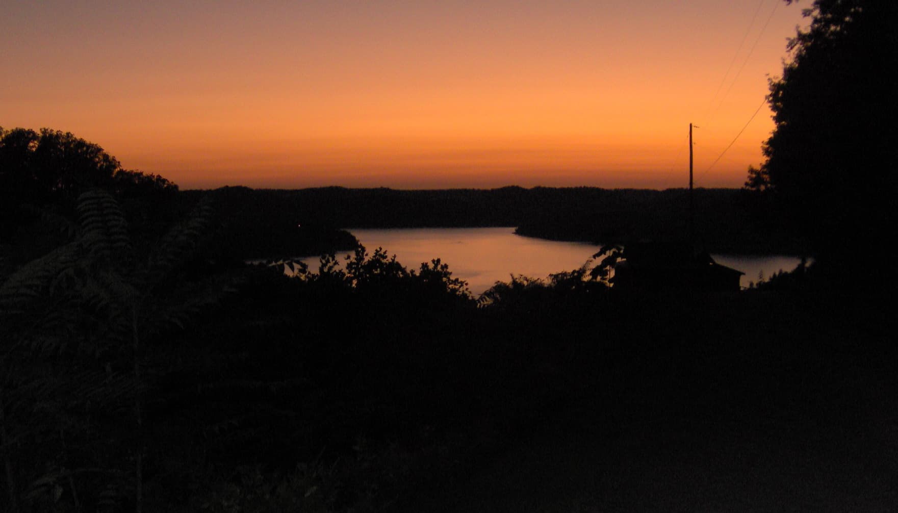
Center Hill Lake, which touches Putnam County's southern edge before extending into DeKalb and White counties, is one of the cleaner reservoir lakes in the state: 18,220 surface acres, 415 miles of shoreline, and the adjacent Edgar Evins State Park (6,000 acres). Land within reasonable distance of the lake commands a premium over comparable acreage farther north.
Burgess Falls State Park, on the Putnam/White county line about 18 miles south of Cookeville, adds to the recreational draw. The Falling Water River drops 250 feet in less than a mile, with the main falls at 103 feet, making it one of the more striking waterfall hikes in the state.
For agricultural buyers, the county's Highland Rim terrain supports hay, beef cattle, and limited row crops, with poultry a long-standing part of the local economy. USDA NRCS in Cookeville (900 South Walnut Avenue, Room 1, 931-528-6472 ext. 3) has cost-share programs for conservation practices: fencing, ponds, pasture establishment, and wildlife habitat work. The UT Extension office for Putnam County (putnam.tennessee.edu) offers soil testing and farm management guidance.
For hunters, roughly 1,000 acres of hunting land are listed in the county at any given time, with parcels running large and priced well below comparable deer and turkey ground in counties closer to Nashville.
The Cookeville growth story is real, and it has a direct implication for timing. The county is still affordable relative to Nashville, but that window isn't fixed. Buyers who verify access, confirm septic feasibility, check flood maps, and understand greenbelt rollback risk before making an offer will be in a much stronger position than buyers who discover these issues after closing.