At $9,347 per acre on average, Hardin County land sits well above Tennessee's statewide cropland benchmark of $5,610 per acre (USDA 2024 Land Values Summary). That gap comes almost entirely from Pickwick Lake.
Hardin County occupies a distinctive spot in southwestern Tennessee, bisected north-to-south by the Tennessee River. It has two nationally recognized assets that set it apart from most rural Tennessee counties: Pickwick Lake and Shiloh National Military Park. Both draw buyers, and both create conditions that require careful due diligence before closing.
Pickwick Lake and What It Does to Land Prices
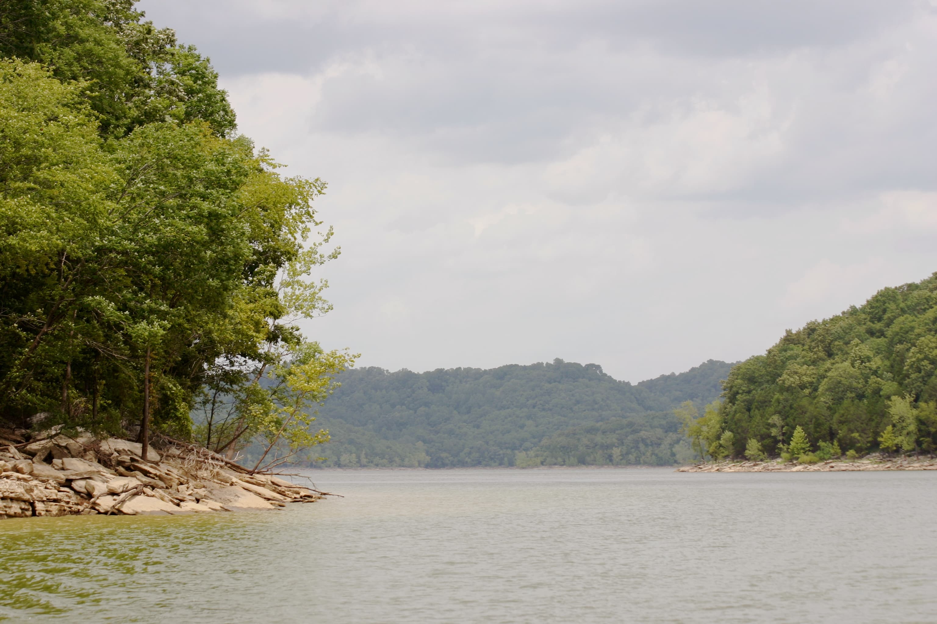
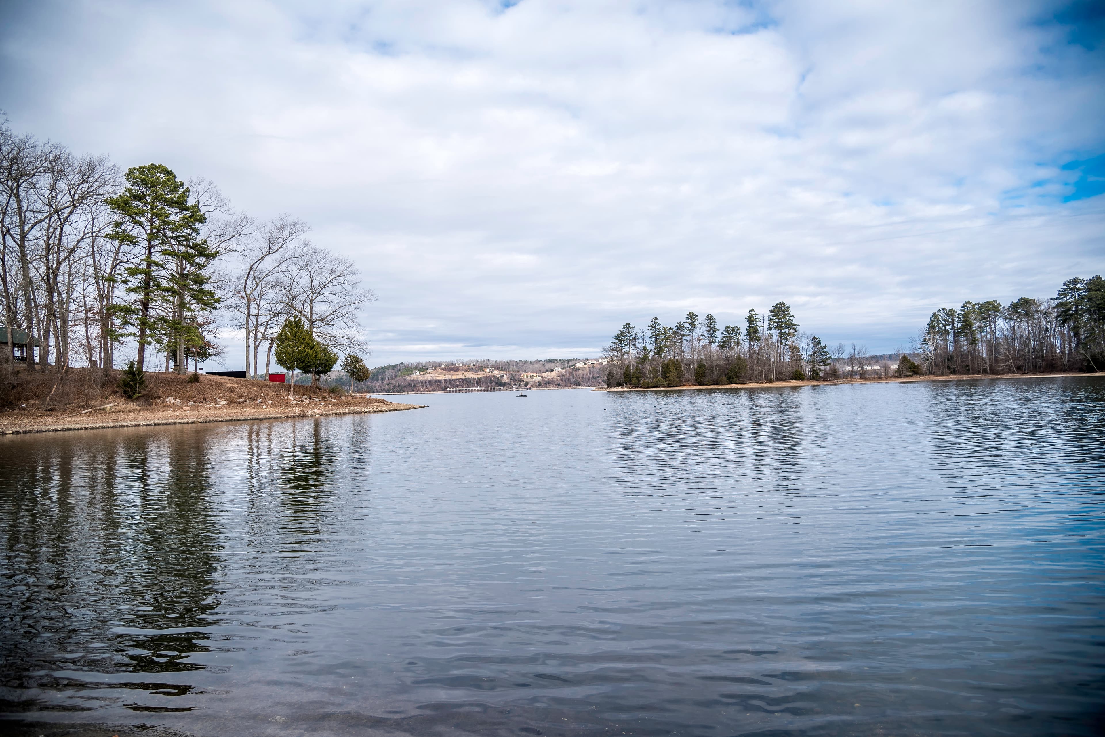
TVA completed Pickwick Landing Dam in 1938, impounding 43,100 acres of the Tennessee River across Tennessee, Mississippi, and Alabama. Within Hardin County alone, 35 miles of shoreline are in play. That proximity is the single biggest driver of land values here.
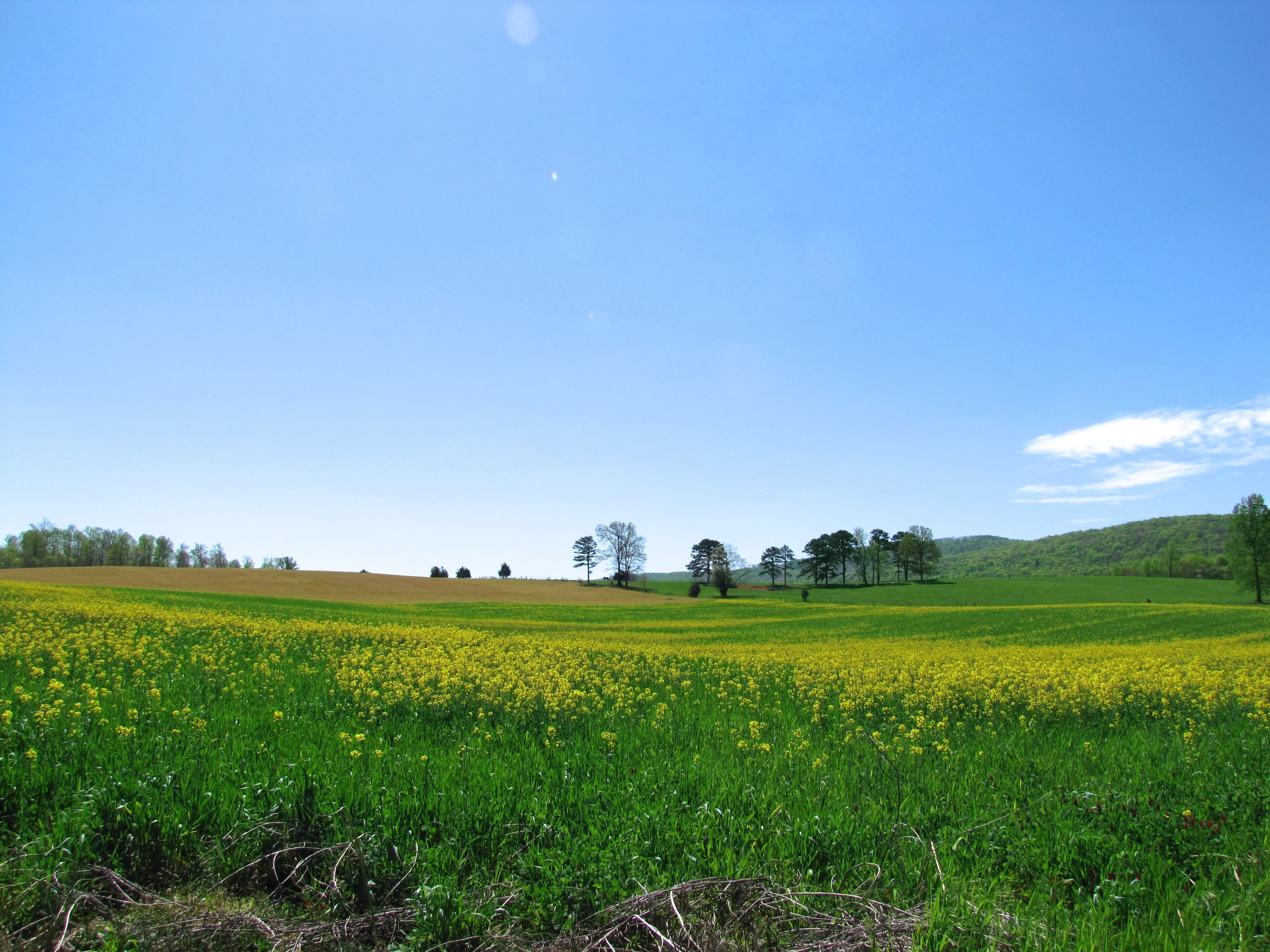
Waterfront and near-water parcels command the steepest premiums. Inland farmland, wooded hunting tracts, and agricultural acreage fall into a broader range: roughly $6,000 per acre for larger parcels (20 to 100 acres) to around $11,000 per acre for smaller tracts closer to amenities. Lakefront estate lots at private gated communities near Counce are priced well beyond those averages.
If you're coming from East Tennessee or the Cumberland Plateau, the terrain shift is noticeable. Hardin County is rolling Highland Rim rather than mountains. Elevations run from about 351 feet at the river to 886 feet on the upland ridges. That relief is enough to matter for site selection and drainage but nothing like the slopes found in Carter or Polk counties.
Flood Risk Along the Tennessee River
This is the single issue that most distinguishes a river-adjacent parcel from an inland one. The National Weather Service sets flood stage for the Tennessee River at Savannah at 370 feet. When TVA operates dam releases during heavy rainfall events, an estimated 3,000 to 4,000 homes in the area face potential water damage. In 2019, multiple residents in low-lying areas of Hardin County reported five feet of water inside their homes.
Upland parcels on the Highland Rim, away from the river corridor, face minimal flood exposure. Bottomland parcels near the Tennessee River and its backwater areas are an entirely different case. Before making any offer on property within a quarter-mile of the river or lake, pull the FEMA flood map at msc.fema.gov and verify the zone designation for that specific parcel.
The question that drives buildability is exactly what percentage of a parcel sits in the floodplain. A river-frontage parcel with 5% in the floodplain is a very different buy than one where 80% is in an AE zone. LandWise intersects the parcel boundary with NFHL data and reports per-zone coverage percentages, the SFHA designation, and base flood elevation where available, so you can see which portion of the acreage is actually affected before you write an offer.
For more on how Tennessee flood maps work, the Tennessee flood zones buyer's guide covers FEMA zone types, insurance implications, and what to look for on the maps.
Shiloh National Military Park, covering 9,324 acres about 9 miles south of Savannah via Highway 22, sits along Tennessee River bottomlands the NPS describes as annually flooded. The park boundary creates a natural buffer there, but private land adjacent to the park has no formal development restrictions because Hardin County has no county-wide zoning.
No County Zoning in Unincorporated Areas
The 2026 NPS Land Protection Plan for Shiloh put it directly: "Outside the city limits of Savannah, TN., there are no zoning regulations in Hardin County." Tennessee's County Zoning Act (TCA §§ 13-7-101 through 13-7-119) authorizes counties to adopt zoning, but it does not require it. Hardin County has not adopted it.
This cuts both ways. You can use an unincorporated parcel for most purposes without county approval: agriculture, timber, residential construction, light commercial. Your neighbors have the same freedom. There are no county-enforced setbacks, height limits, or use restrictions on land outside municipal boundaries.
If a parcel sits near the city of Savannah, confirm whether it falls within city limits. The city maintains its own zoning ordinance through a planning commission, and the rules there are meaningfully different. The City of Savannah Community Development office is at 140 Main Street, (731) 925-3300.
For context on how Tennessee's no-zoning counties compare statewide, see our guide to unzoned counties in Tennessee.
Soil, Septic, and Agricultural Land
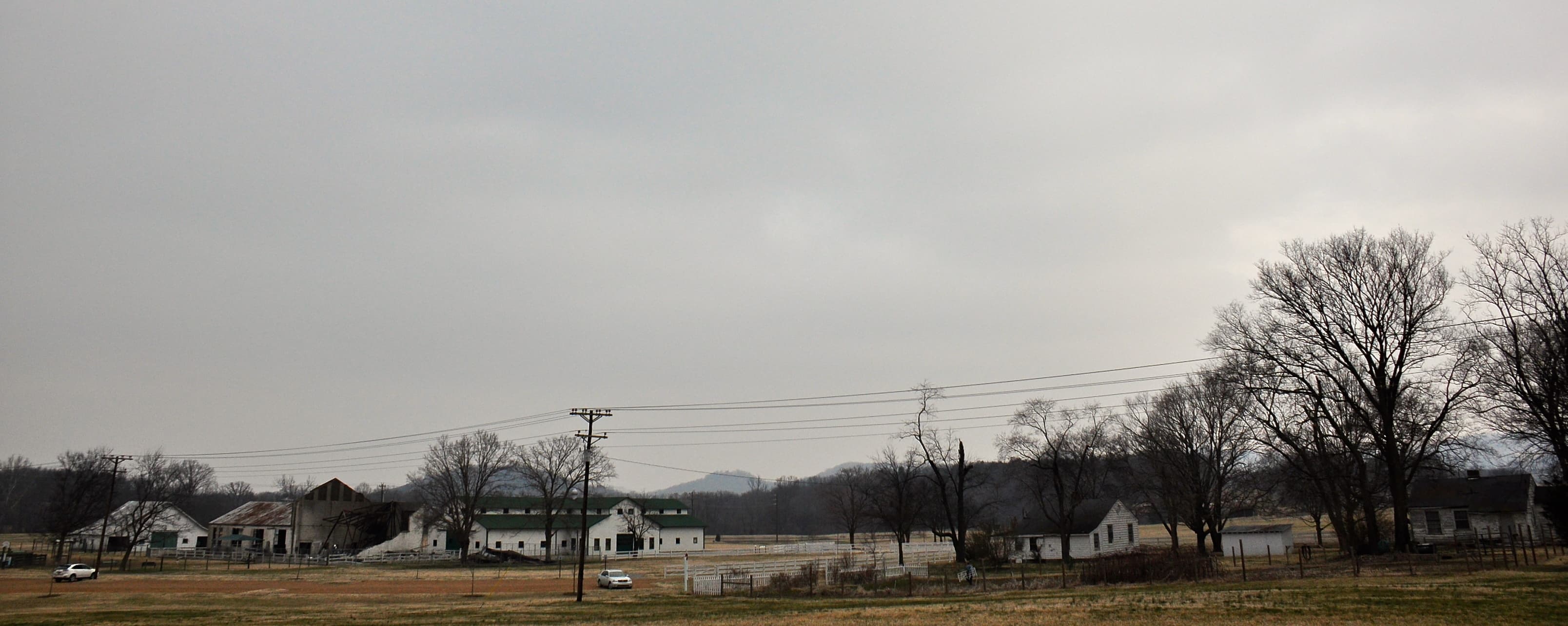
Hardin County sits on Highland Rim Ultisols: leached, often chert-heavy soils developed on limestone bedrock. These are not the deep bottomland soils of the Mississippi embayment to the west, which is one reason the county historically favored livestock and timber over intensive row crops. Today the agricultural mix runs toward soybeans, corn, hay, and cattle. The Hardin County Stockyard in Savannah operates as an active livestock trading market.
For septic feasibility, soil drainage class and depth to restrictive layer are the key variables. Highland Rim soils with shallow chert or limestone layers can prevent a conventional drain field from functioning, pushing buyers toward mound systems or alternative designs that cost significantly more. The USDA NRCS Web Soil Survey (websoilsurvey.nrcs.usda.gov) maps drainage class, hydrologic group, and restrictive layers at the parcel level. The local NRCS office at 1035-C Wayne Road, Savannah, TN 38372, (731) 925-3831, can help interpret what the survey shows for specific soils on a parcel.
Water Access and Broadband
Most unincorporated Hardin County relies on private wells. The eastern part of the county sits on karst limestone, where solution channels and fractures form the primary aquifer. That geology can yield consistent water but may be susceptible to surface contamination through fractures, which is worth testing for if agricultural operations are nearby. TDEC's water well database (tn.gov/environment) logs historical well depths by county and can help gauge what to expect before drilling.
Broadband is actively improving. TVEC Connect, the fiber arm of Tennessee Valley Electric Cooperative, received $21.8 million in state grant funding to build fiber to every TVEC member in Hardin and Wayne counties. The Nixon area already has service; additional coverage zones are under construction. Spectrum covers roughly 60% of the county (primarily Savannah and major corridors) with cable and fiber. For rural parcels on back roads away from existing utility routes, confirm current broadband availability before assuming it is usable.
Before You Close
The Hardin County Register of Deeds is at 465 Main Street, First Floor, Savannah, TN 38372, (731) 925-4936. Hours run Monday through Friday, 8am to 4:30pm (Wednesday closes at noon; recording stops at 4pm). Deed history, easement records, and prior conveyances are all here.
The Assessor of Property at 465 Main Street, (731) 925-9031, handles comparable sales data, farmland classification, and current assessed values. Tennessee's Greenbelt Law (TCA § 67-5-1001) allows qualifying agricultural and forestland to be assessed based on use value rather than market value. Parcels over 15 acres actively used for farming or timber may qualify, which can reduce the annual tax bill considerably. Verify current use requirements with the assessor before counting on that benefit.
Hardin County's combination of lake-driven demand, documented flood exposure along the river, and the absence of county zoning makes parcel-level due diligence more important than in most Tennessee counties. What you're buying here is highly site-specific; the acreage matters less than where on that acreage you can actually build, what the soils will support, and how close the nearest line of water runs.