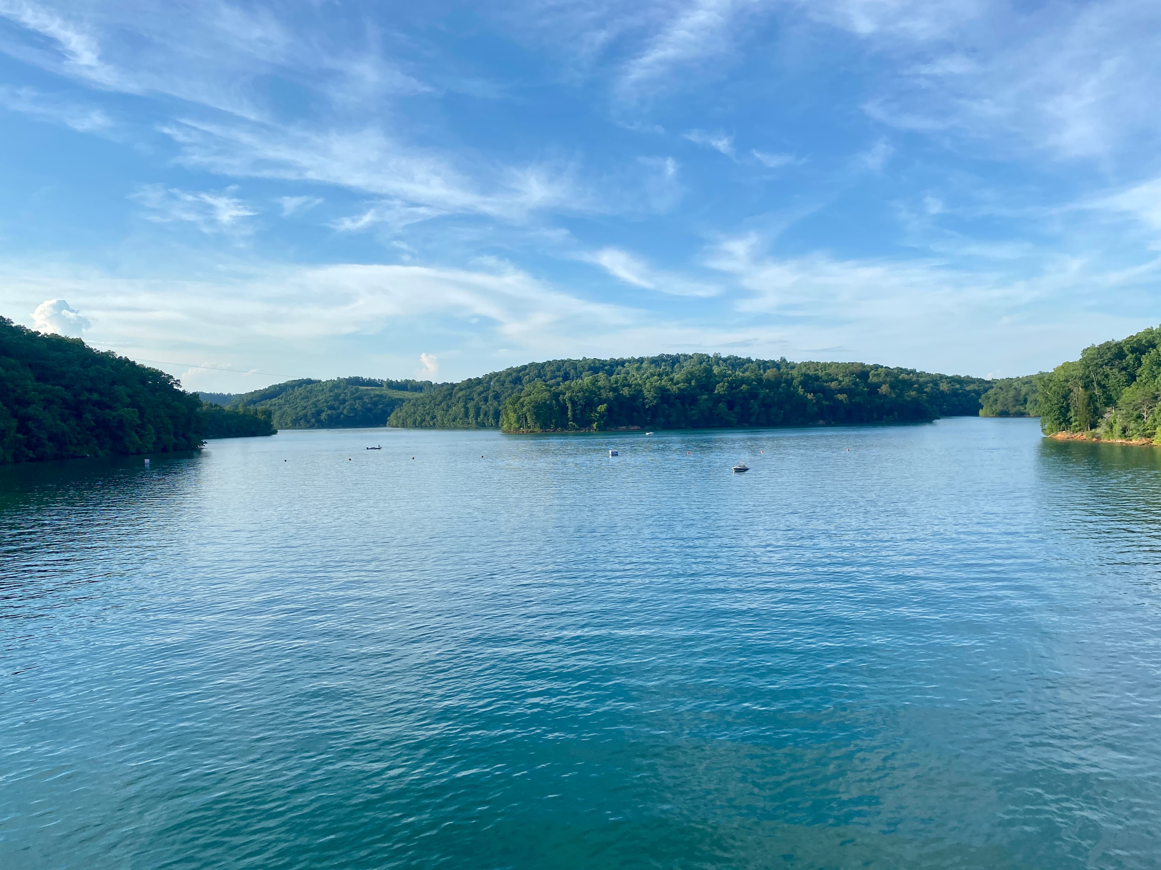

722 miles of shoreline. That's how much Watts Bar Lake has, and the vast majority runs through Roane County, Tennessee. If you're shopping for land here, that number matters because nearly every waterfront parcel on Watts Bar involves TVA as a silent third party in your transaction.
Roane County sits at the confluence of three rivers: the Tennessee, the Clinch, and the Emory. All three are managed by TVA. The county stretches from Kingston (the county seat) west toward Walden Ridge and east toward the Cumberland Plateau foothills, giving buyers a range of terrain from lake-level bottomland to steep ridgeline parcels above 1,000 feet.
The TVA Factor: What Every Waterfront Buyer Needs to Know
Before any construction can happen on waterfront land in Roane County, TVA has something to say about it. Section 26a of the TVA Act requires a permit for any work on or near TVA-controlled shoreline: docks, piers, boathouses, riprap, retaining walls, steps, walkways, even shoreline stabilization.
TVA also designates a 50-foot Shoreline Management Zone (SMZ) on its property along the water's edge. Within the SMZ, no trees can be removed except within a pre-approved access corridor. Docks must generally be 1,000 square feet or less and cannot have enclosed or roofed upper decks.
Here's the piece most buyers miss: to qualify for a dock permit, the TVA land fronting your parcel must be classified as Zone 7 (Shoreline Access) in the Watts Bar Reservoir Land Management Plan. Zone 3 (Sensitive Resource Management) or Zone 4 (Natural Resource Conservation) frontage means no dock is possible, regardless of what the seller says or what the listing photos show. The Watts Bar Reservoir Land Management Plan was last amended on July 6, 2021. TVA can provide the zone classification for any shoreline parcel before you make an offer; call 1-800-882-5263.
State permits from TDEC may also be required alongside the TVA Section 26a permit. Budget time for both.
Flood Risk Along the River Arms
TVA management of Watts Bar Dam reduces flood variability significantly compared to a free-flowing river, but it doesn't eliminate flood risk. Low-lying bottomland parcels near Kingston, along the lower Emory arm, and in the Clinch arm carry the most FEMA Zone AE (100-year floodplain) exposure.
The lower Emory River corridor near Harriman has additional history worth knowing. On December 22, 2008, a dike failure at TVA's Kingston Fossil Plant at 714 Swan Pond Road released approximately 5.4 million cubic yards of coal ash slurry into the Emory and Clinch rivers, the largest industrial spill in U.S. history at the time. TVA spent roughly $1 billion on cleanup and purchased 180 properties totaling about 960 acres in the affected zone. That land became Swan Pond Recreation Area. Ongoing monitoring continues on the Clinch arm. Most affected parcels were purchased by TVA and are no longer in private ownership, but any parcel near the lower Emory warrants a careful title and environmental review.
If you're evaluating bottomland near the Clinch or Emory arms, the key question is which portion of the parcel is actually buildable. LandWise intersects parcel boundaries with NFHL data and reports the coverage percentage in each FEMA zone, the SFHA designation, and base flood elevation where available. That tells you whether a parcel's high ground clears the floodplain before you spend time on an offer, rather than finding out at the inspection.
Pull the FIRM panel at msc.fema.gov for any specific parcel before you make assumptions.
Terrain and Buildability: Three Land Types
Away from the lake, Roane County divides into three rough bands.
River bottomland near 741-foot lake elevation has the richest soil but the most flood exposure and the heaviest clay content. Seasonal high water tables here often make conventional septic systems impractical, which limits what you can build.
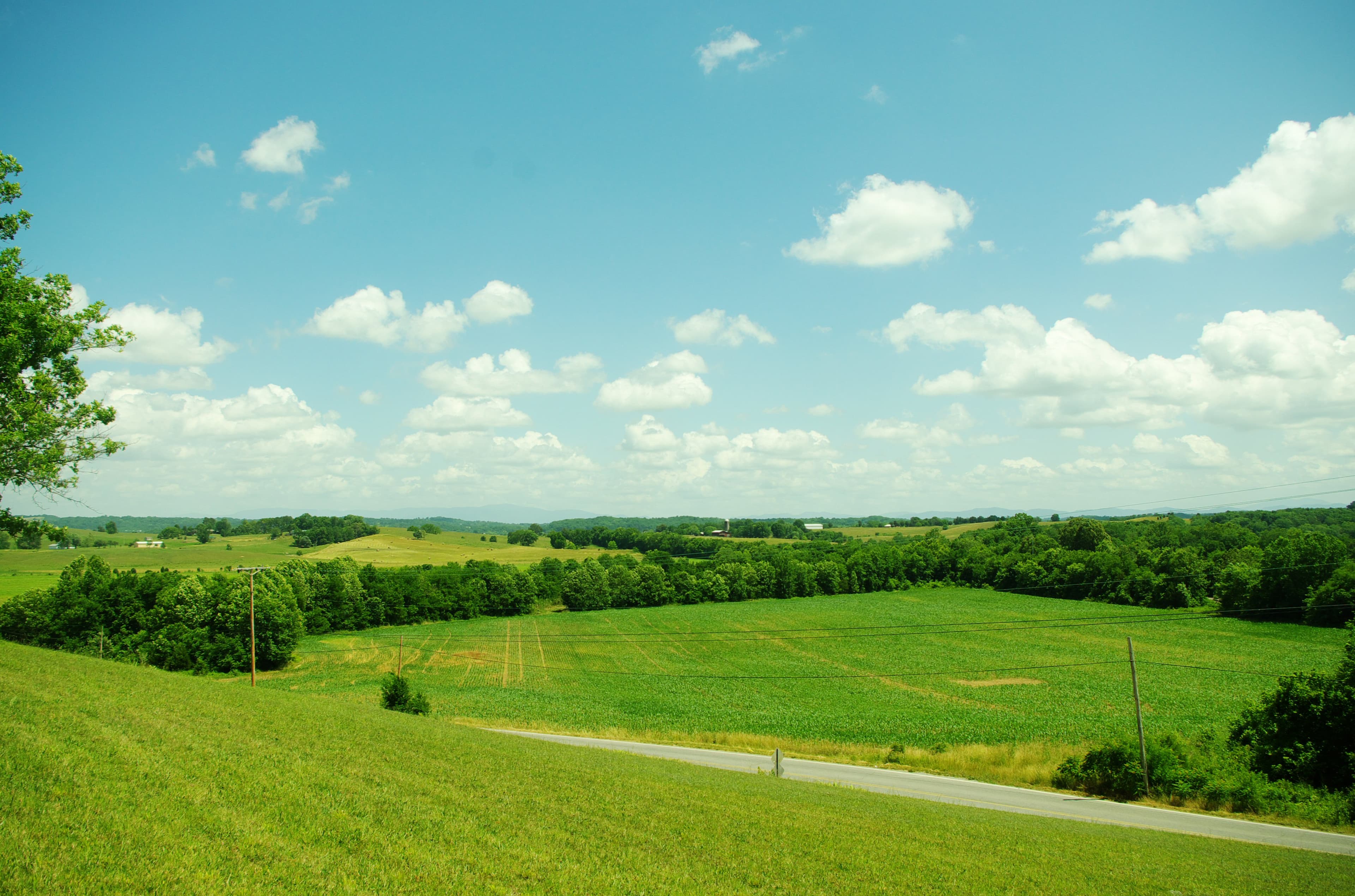
Rolling mid-slope terrain in the 700-900 foot range is the most buildable band. Drainage is better, road access is generally available, and soils are more varied. Most of the county's agricultural land falls here.
Ridgeline parcels on Walden Ridge to the west can exceed 30% grade in places, which adds substantially to grading and foundation costs. The views are real, but so are the site-prep bills. Confirm actual slope before falling in love with a ridgeline listing.
Zoning, Septic, and Building Permits
Roane County has county-wide zoning for unincorporated areas. Most rural land is classified A-1 (General Agricultural), the least restrictive district. The county adopted the 2024 International Building Codes for new residential construction. The Building Codes and Zoning office is at 308 N. 3rd Street, Kingston, TN 37763 (865-717-4230).
Tennessee septic rules under T.C.A. § 68-221-403 require a TDEC permit and a minimum lot size of about 40,000 square feet (roughly 0.92 acres). On bottomland with high clay content, even lots well above the minimum can fail conventional perc tests. If septic feasibility is uncertain, get a soil evaluation before signing a contract rather than making it a contingency. For a deeper look at how soil type affects your options, see our guide to perc tests in Tennessee.
If you're considering short-term rentals on lakefront property, Roane County requires an annual operating permit: $200 for the initial application, $150 to renew each year. Pre-existing STRs may qualify for grandfather provisions.
Utilities
Electric service is split among several TVA distributors. Volunteer Energy Cooperative handles most of the rural county; Harriman Utility Board, Rockwood Electric Utility, and smaller boards cover incorporated areas and their fringes. Most parcels within a mile of an improved road are reachable, but extension costs depend heavily on distance to the nearest line. For what rural power extension actually costs in Tennessee, see this breakdown.
Water and sewer: Watts Bar Utility District, Kingston Water Department, and Roane County Wastewater serve their respective service areas. Rural parcels outside any district will need a private well and septic. A drilled well plus a conventional septic system in Roane County typically runs $25,000-$40,000 combined, depending on depth and soil conditions.
Broadband is uneven. Volunteer Energy Cooperative has been extending fiber-to-the-home with state grant funding, but coverage remains thin on rural parcels. Fixed wireless and satellite are the realistic options for most off-grid buyers right now.
Property Taxes and the Greenbelt
The 2025 county tax rate is $1.4523 per $100 of assessed value for parcels outside city limits. Tennessee assesses residential and farm property at 25% of appraised value, so a $200,000 rural parcel carries an assessed value of $50,000 and a tax bill around $726/year at the county rate.
Larger tracts may qualify for greenbelt assessment under T.C.A. §§ 67-5-1001 through 1050 (the Agricultural, Forest and Open Space Land Act of 1976). Qualifying agricultural or forest land needs at least 15 acres; open space needs 3 acres. Qualifying land is taxed on use value rather than market value, which can cut the bill significantly on a large wooded tract. The application deadline is March 15 each year at the County Assessor's office at 200 E. Race Street, Suite 5, Kingston, TN 37763.
One important catch: convert the land to a non-qualifying use and you'll owe rollback taxes covering the prior 3 years. That rollback follows the property, not the seller, so confirm greenbelt status in any purchase agreement and verify what use restrictions go with it.
Road Access: Confirm Before You Close
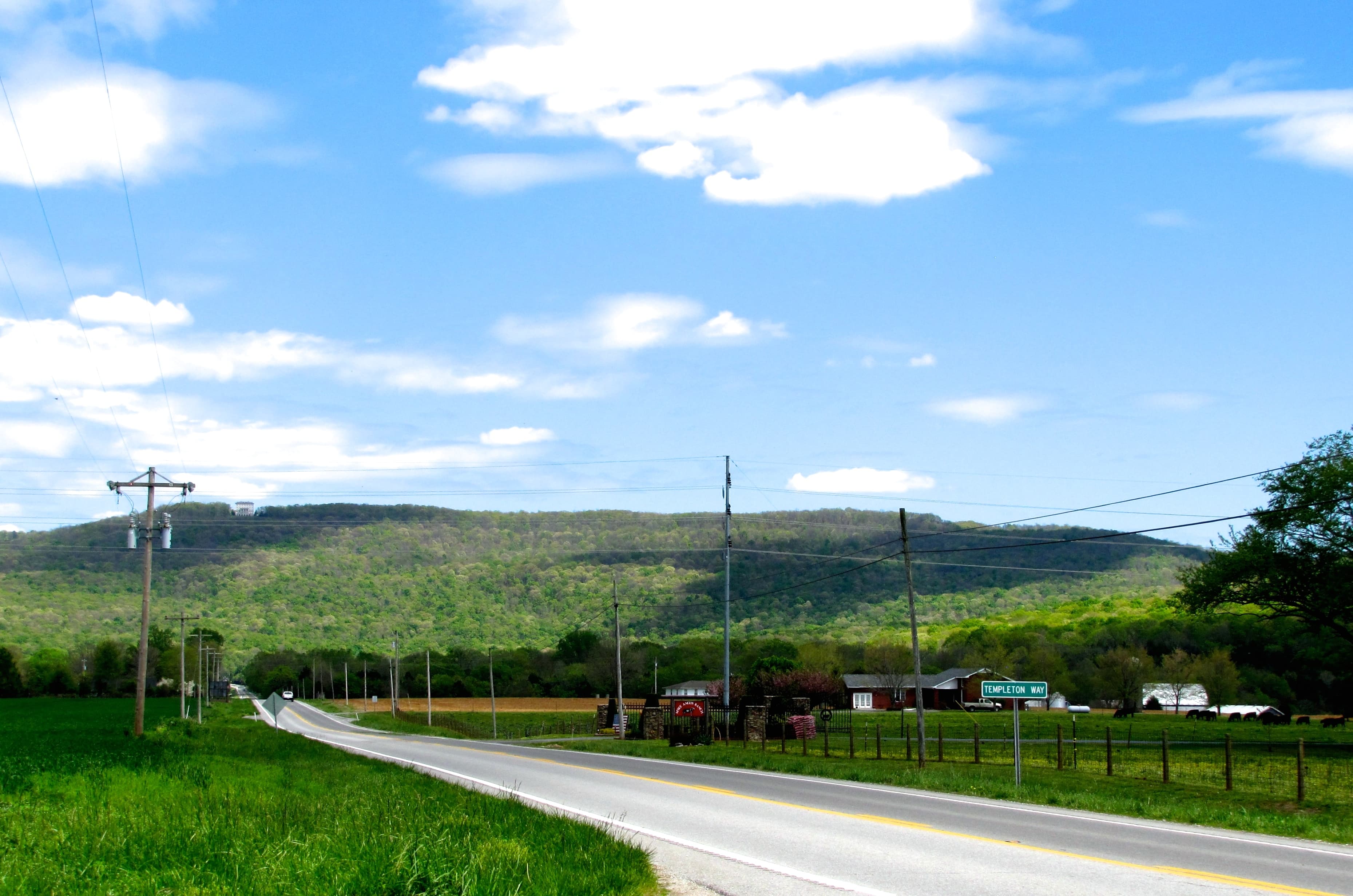
In rural Roane County, road access is frequently where deals unravel late. Tennessee distinguishes public county roads from private roads, and many rural parcels are accessed via tracks that were never formally accepted as county-maintained roads. Private roads require maintenance agreements, and those agreements need to be in the deed. Landlocked parcels have legal remedies under Tennessee law, but negotiating a statutory easement takes time and money. See our guide to landlocked land in Tennessee before evaluating any parcel whose access road looks informal.
The county's maintained road list is available through the Roane County Highway Department; call them before the inspection, not after.
What Roane County Land Actually Costs
Interior rural and wooded parcels run roughly $10,000-$30,000/acre depending on terrain, road access, and timber. Lakefront land is a different market entirely: Watts Bar waterfront parcels frequently list above $100,000/acre, and waterfront homes have median listings around $395,000. The TVA zone classification and dock-permit potential are probably the single biggest price drivers for lakefront listings; a Zone 7 front with dock rights is worth materially more than Zone 4 frontage with no dock option.
That TVA distinction is the thing most buyers coming from other Tennessee counties don't know to look for. Get the zone classification in writing from TVA before you write an offer on anything with lake frontage.