
Nearly half of Stewart County belongs to the federal government. The USDA Forest Service manages Land Between the Lakes National Recreation Area along the western border, the U.S. Fish & Wildlife Service operates the 8,862-acre Cross Creeks National Wildlife Refuge in the Cumberland River bottomlands, and the National Park Service runs Fort Donelson National Battlefield near the county seat of Dover. What remains is roughly 460 square miles of private land, 13,657 residents, and no county-wide zoning ordinance.
That combination draws a specific kind of buyer: people who want room to build, hunt, or farm without asking a county planning commission for permission.
What the Land Looks Like
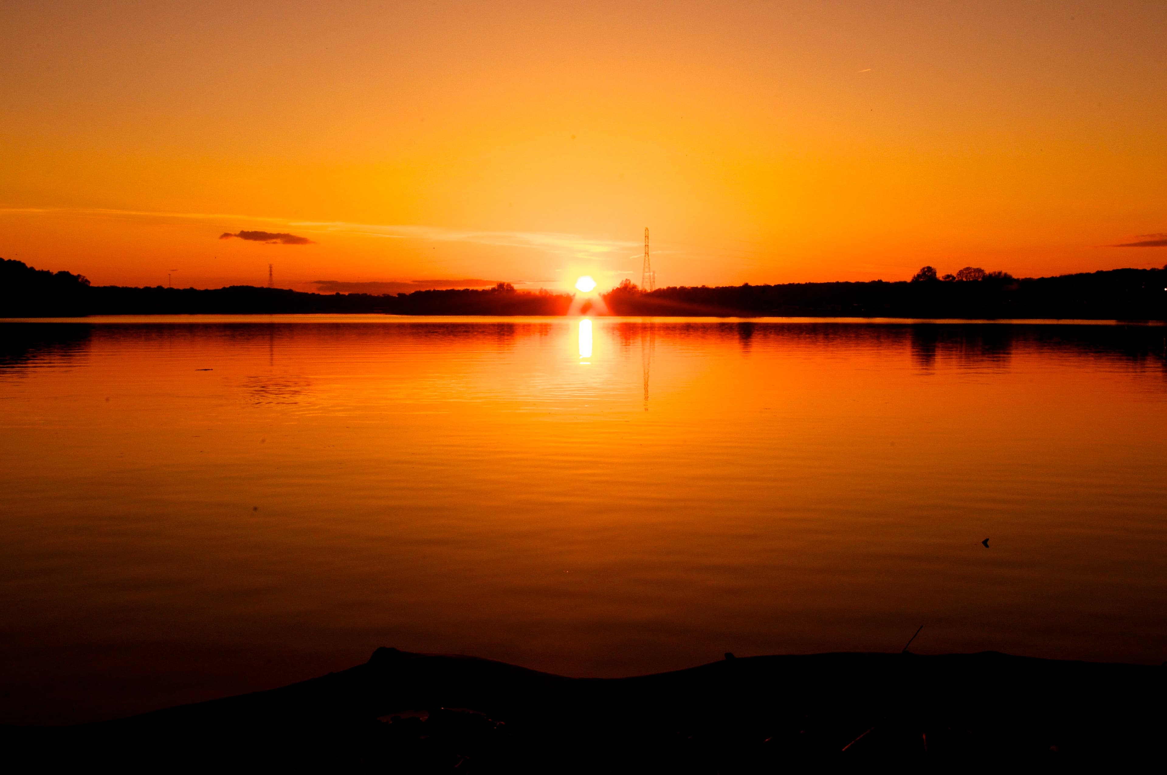
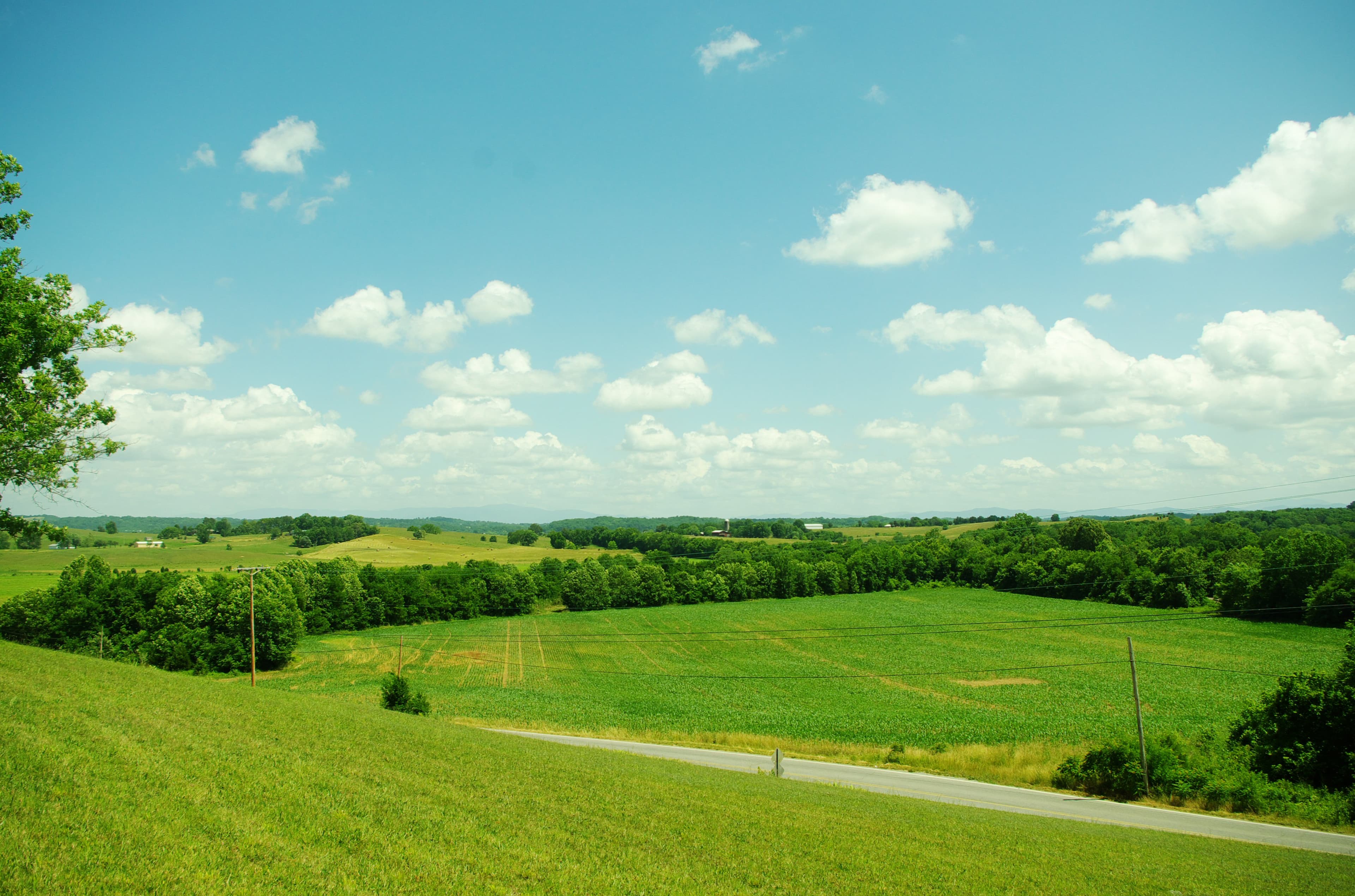
Stewart County sits at the western edge of Tennessee's Highland Rim. Kentucky Lake, formed by the Tennessee River, defines the entire western county line. Lake Barkley, formed by the Cumberland River, cuts through the county from east to west. Between and around the lakes, terrain runs from river bottoms at roughly 350 feet elevation to wooded ridges around 760 feet, with hillside slopes typically in the 5 to 15 percent range.
About 57,000 acres is farmland, per the 2022 USDA Census of Agriculture: 361 farms, a mix of cropland, pasture, and woodland. The dominant soil is Dickson silt loam, Tennessee's official state soil. It's moderately well-drained with a slow-permeability fragipan subsoil, well suited for hay, pasture, small grains, and corn. Dark-fired tobacco was historically the county's signature crop. The tobacco base has wound down significantly, but the farmland infrastructure remains.
Most buyers today are shopping for recreational land. Hunting tracts near Land Between the Lakes list around $5,500 per acre on average. General land runs closer to $7,200 per acre. True waterfront on Kentucky Lake or Lake Barkley appears infrequently and trades at a premium when it does.
Zoning, Septic, and What the County Actually Regulates
Stewart County has no planning commission and no county-wide zoning ordinance. In unincorporated areas, there are also no county building codes. Dover, Tennessee Ridge, and Cumberland City each have their own municipal rules, but outside those town limits, county government does not control what you build or where on your land.
This means "no restrictions" listings in Stewart County are largely accurate. It also means your neighbors have the same freedom.
Two regulatory gates apply regardless of zoning status. The Tennessee Department of Environment and Conservation requires a septic permit under T.C.A. § 68-221-403 before any structure is built on a lot that needs an on-site sewage disposal system. That process starts with a soil evaluation and perc test coordinated through the county health department. Parcels with poor drainage or a high seasonal water table may require an alternative system, which costs more than a conventional installation. Wells come under TDEC's Division of Water Resources and also require a permit. Public water service reaches some areas near Dover and Tennessee Ridge but doesn't extend across the rural county.
The one person in the county handling building permits covers the Town of Dover only. Jeff Brigham, Dover's Building and Codes Officer, is reachable at (931) 232-5907. Outside Dover, no county office reviews building plans.
Flood Risk Along the Lakes and the River
The Cumberland River at Dover has an active flood history. USGS maintains gauge #03437000 at Dover for real-time monitoring, and the station's historical record includes readings from multiple major events. Roads and areas that have flooded near Dover include Highway 79, Highway 49, Bellwood Landing Road, and Cross Creek Road, among others.
Cross Creeks National Wildlife Refuge sits almost entirely within the Cumberland River floodplain, which illustrates how extensive the FEMA Zone A and AE designations are in the county's bottomlands. Any parcel near the river, a tributary creek, or the Lake Barkley shoreline warrants careful review of the flood map before purchase. Flood insurance is required for federally backed mortgages on property in a Special Flood Hazard Area.
The useful question for a specific parcel isn't whether any portion touches a flood zone. It's what percentage of the parcel is in the SFHA and whether the upland area is large enough for what you're planning. LandWise intersects the parcel boundary with NFHL data and reports the percentage in each FEMA zone, the SFHA designation, and base flood elevation where available, so you can see whether the developable portion of a parcel is actually affected before you write an offer.
For a broader look at how Tennessee's flood maps work and what the zone designations mean, see Understanding Tennessee Flood Zones.
Property Taxes
Stewart County's effective property tax rate sits around 0.37% of market value, well below Tennessee's statewide median of 0.54% and far below the national median of roughly 1.02%. Under T.C.A. § 67-5-801, farm and residential property is assessed at 25% of appraised value. A 100-acre tract appraised at $400,000 carries an assessed value of $100,000 for tax purposes.
Property Assessor Martha Wallace's office is at 225 Donelson Parkway, First Floor, Dover, TN 37058, reachable at (931) 232-5252, Monday through Friday, 8 AM to 4:30 PM. Assessment notices go out by mid-May; the appeal deadline is May 31 each year.
If you're buying a timber or working agricultural tract, the Greenbelt Law (T.C.A. §§ 67-5-1001 through 67-5-1012) allows qualifying land to be assessed at current use value rather than market value. The threshold is 15 acres. Agricultural land must be in active farm use or generate at least $1,500 in average annual farm income over any three-year period. Forest land needs active tree growth constituting a working forest. If the land is later converted to another use, rollback taxes apply covering the prior three years. On a large rural tract, Greenbelt enrollment can meaningfully reduce the annual tax bill.
Road Access and Title
Stewart County has roughly 408 road miles across 459 square miles of land. A substantial portion of rural parcels are reached by gravel county roads or private easement roads rather than paved public roads. Because the county never adopted subdivision regulations, older recorded lots were sometimes created without any requirement to have road frontage on a public road. That history means landlocked parcels exist.
Before buying, verify access through a title search with the Register of Deeds. That office is headed by Derek W. Earhart at 225 Donelson Parkway, Main Floor, Dover, TN 37058, reachable at (931) 232-5990. A survey confirming road frontage or a recorded easement is worth the cost on any tract where access looks uncertain on the parcel map.
If a parcel turns out to be landlocked, Tennessee law (T.C.A. Title 29, Chapter 16) allows courts to award an easement by necessity, but that's a process best avoided entirely. Landlocked Land in Tennessee: What Buyers Need to Know covers the legal framework and what to watch for before you close.
Stewart County's appeal is direct: low taxes, no county zoning, abundant recreational land, and proximity to two major lakes and a 170,000-acre federal recreation area. The cautions are equally direct. Check the flood maps carefully on any parcel near water. Verify road access before closing. And don't read "no restrictions" as meaning no regulatory requirements at all. The TDEC septic process and state floodplain rules apply across Tennessee regardless of what any individual county does or doesn't regulate locally.