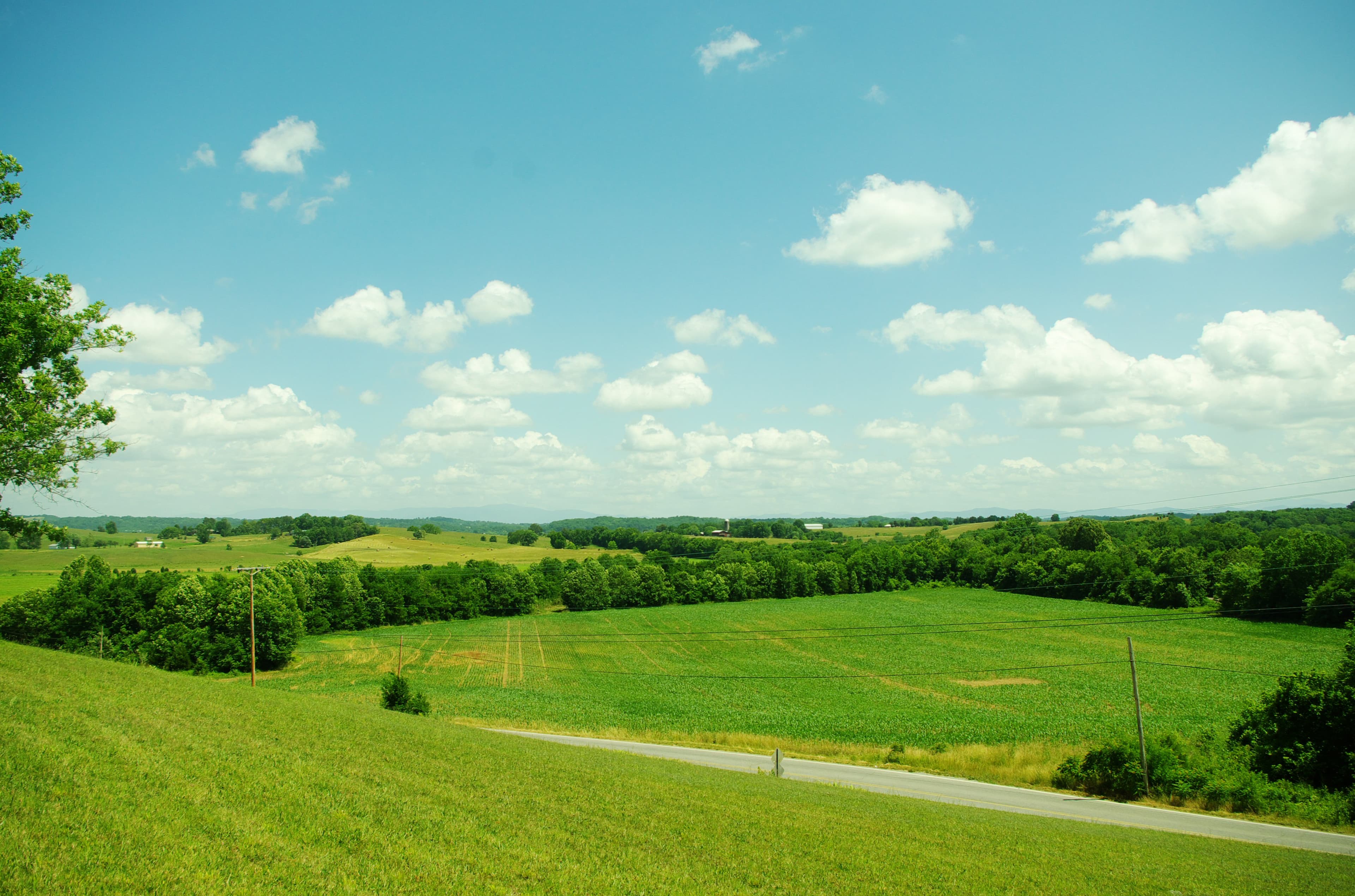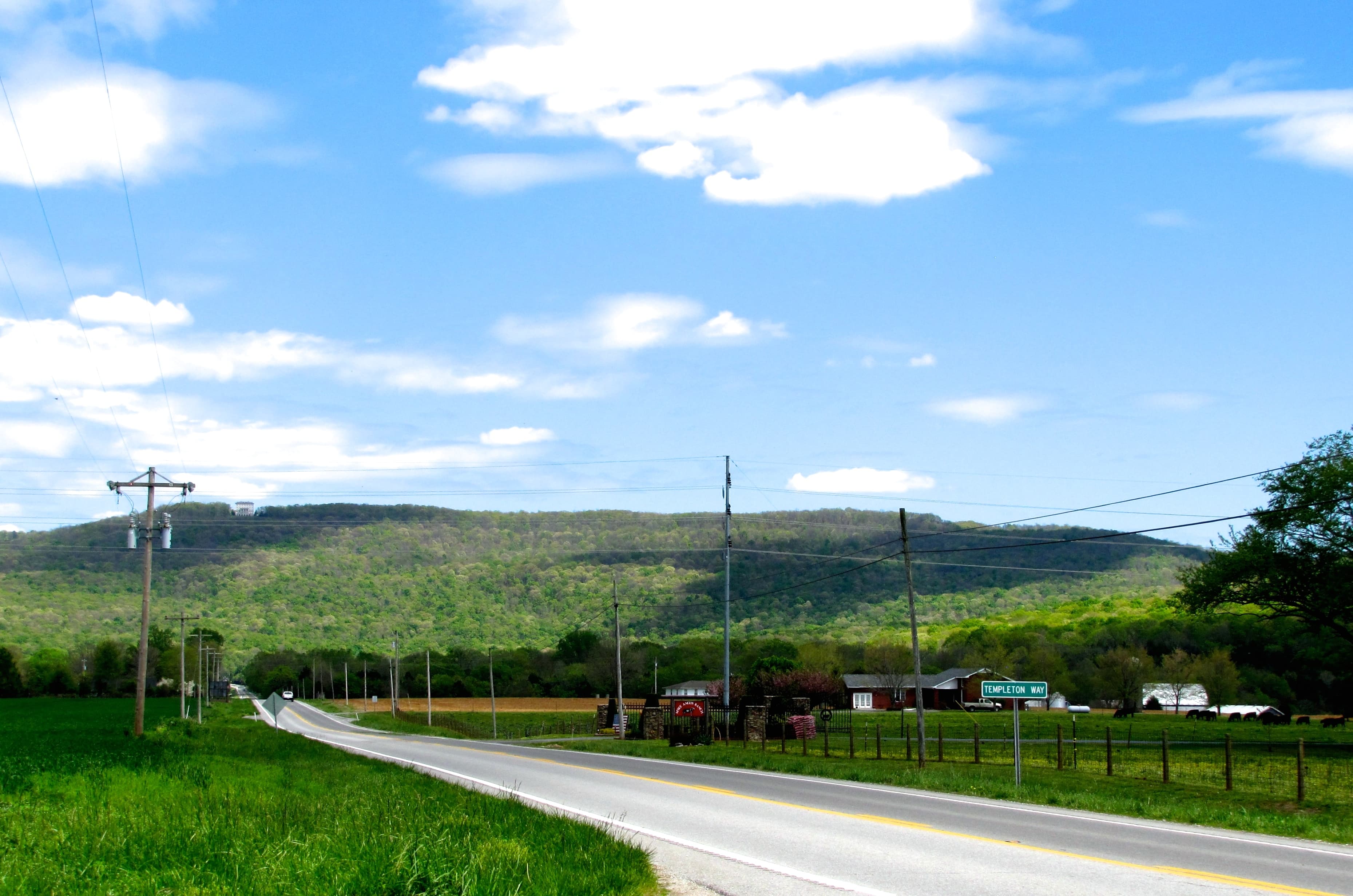

Roan High Knob tops out at 6,285 feet. The valley floors near Elizabethton sit around 1,500 feet. That nearly 5,000-foot swing across a single Tennessee county sets up almost every complication you'll encounter buying land here.
Carter County draws buyers looking for mountain retreats, recreational tracts, and off-grid properties within a few hours of Knoxville and Charlotte. The terrain features that create the appeal, rugged ridges, deep gorges, and fast-moving rivers, are also the source of the due-diligence challenges that tend to show up late in a transaction if you're not looking for them early.
The Land and What Drives Its Value
Carter County sits in the far northeastern corner of Tennessee, bordering North Carolina and Virginia. The county seat, Elizabethton, was home to the Watauga Association in 1772, the first American government formed west of the original colonies. The county has 110 named mountains, significant portions of the Cherokee National Forest, and Watauga Lake, a TVA reservoir with 104.9 miles of shoreline. Of those miles, only 47 are privately held. The rest are public land or national forest, which matters both for recreation access and for understanding what you can't buy.
Roan Mountain State Park sits at the northern base of the massif, and the balds that stretch along the ridge offer one of the longest continuous open-summit hiking routes in the southern Appalachians. Cherokee National Forest parcels interlace with private land throughout the eastern and southern portions of the county. Verifying whether a parcel abuts federal land is worth doing early, since that boundary affects what neighbors and uses you'll have.
Forested and recreational tracts typically run $4,500 to $10,000 per acre depending on road access and utilities. Small buildable lots command higher per-acre prices. Large tracts price lower per acre.
Flood Risk Runs Higher Than Most Buyers Expect
More than 30% of the developed land in Carter County sits inside a floodplain. That figure comes from the county's Hazard Mitigation Plan and it's not abstract. In September 2024, Hurricane Helene sent the Doe River over its banks through Hampton and parts of Elizabethton, sweeping away homes and vehicles and submerging all four lanes of Highway 19E. The federal Major Disaster Declaration for Carter County was approved.
TVA built Watauga Dam in 1948 specifically to reduce flooding on the Watauga River, and it has helped. But a controlled reservoir doesn't prevent flash flooding on uncontrolled tributaries like the Doe River. Low-lying parcels along either corridor face real flood exposure.
Upper-slope and ridge parcels are outside any FEMA flood zone. They have their own complications, which is where most buyers get surprised.
For any parcel near the Doe or Watauga corridors, the useful question isn't simply "is this in the floodplain" but which portion of the actual parcel is affected and which zone it falls in. Check the FEMA flood map viewer at msc.fema.gov and confirm the flood zone designation with the Carter County Planning office before going too far with an offer. The guide to Tennessee flood zones explains zone designations and insurance requirements in more detail.
Slopes and Soils: The Challenge Most Buyers Miss
Steep terrain is visible on a topo map. Thin, rocky soils are not.
Carter County's mountainous areas commonly have soils with very shallow depth to bedrock, a consequence of the same geology that produces the dramatic ridgelines. Under Tennessee's subsurface sewage regulations (TCA § 68-221-403), every new septic system requires a Construction Permit from the county Environmental Health office, and a perc test must be completed before that permit can be issued. On parcels with shallow rocky soils, a conventional trench system won't pass that test. Mound systems, low-pressure pipe systems, or engineered pretreatment units are the standard alternatives, and they add real cost. Some steep, rocky parcels won't support any permitted system for a conventional dwelling.
The TDEC regional office that handles Carter County site evaluations is at 2305 Silverdale Drive in Johnson City.
A soil evaluation and perc test before closing is standard advice for rural Tennessee. In Carter County, it's especially important because there's no quick fix if a parcel can't support a system. The perc test guide for Tennessee explains what the evaluation process looks like and how results translate into permit decisions.
LandWise pulls SSURGO data for every parcel, returning drainage class, hydrologic group, water-table depth, and depth to restrictive layer. It assigns a perc-risk rating (high, moderate, or low) and a septic-feasibility verdict (suitable, marginal, or unsuitable). It doesn't replace the county perc test, but it tells you which parcels are worth ordering one for before you spend money on an offer.
For parcels with significant grade, see also building on sloped land in Tennessee. Anything above a 25% slope requires an engineered septic design under state rules, and driveway construction costs on steep terrain can surprise buyers who price the land without modeling the site work.
Road Access and Private Roads
Carter County's historical subdivision patterns in steep terrain have produced a lot of situations with shared private roads. The typical scenario: a paved county road ends at the base of a ridge, and several parcels above it share a single gravel road that nobody owns outright. If the road isn't covered by a recorded easement, you're buying access that depends on a neighbor's goodwill.
For parcels with no legal road access at all, Tennessee's Private Ways Act (TCA § 54-14-101) provides a remedy. A landlocked owner can petition the court to condemn a right-of-way up to 25 feet wide across adjacent land. A 2019 amendment (SB1896) added an attorney-fee risk for the petitioner if the court sides with the defending landowner, so this isn't a cheap backstop. Verify road access in the chain of title at the Carter County Register of Deeds before closing. Landlocked land in Tennessee covers the private ways process in full.
Utilities
Mountain Electric Cooperative (MEC) has served Carter County since its incorporation in 1941 and receives wholesale power from TVA. Coverage is solid, but Hurricane Helene damaged significant infrastructure in fall 2024. For any parcel where the power line doesn't already run close to the property, ask MEC for a cost estimate on extension before assuming it's affordable. Distance to the nearest line is the main cost driver, and it can swing from a few thousand dollars to well over $20,000 depending on terrain and line length.
Most rural Carter County properties rely on private wells. The groundwater resource is generally strong; TDEC has documented more than 200 exceptional-quality water bodies in the county. Well drilling requires a licensed contractor and a Notice of Intent filed with TDEC before work begins.
Broadband coverage in remote mountain areas is patchy. State expansion grants have targeted Carter County, but coverage remains inconsistent in the more isolated hollows and ridges. Check the FCC National Broadband Map at broadbandmap.fcc.gov for parcel-level data before assuming connectivity.
Zoning and Planning
Carter County has a county-wide Planning and Zoning office at 300 N. Main St., Elizabethton (423-542-1834). The county's planning program covers zoning, subdivision regulations, floodplain review, and building permits for unincorporated areas. Not every listing will include a verified zoning designation. Confirm parcel zoning directly with the planning office before making an offer, especially for parcels where the intended use (residential, agricultural, commercial) isn't explicitly permitted by right.
The county is a genuinely appealing land-buying market: mountain scenery, reasonable prices, proximity to outdoor recreation, and lower development pressure than areas closer to Knoxville or Asheville. The terrain complications, flood risk in the valleys, thin soils at elevation, shared-road situations in steep hollows, all have workable solutions. The goal is finding them before closing, not after.