Roughly 82 percent of recorded flood events in Madison County are flash floods, not slow-rising river floods, and August is the most active month. That single statistic should reshape how you walk a parcel here: the dry creek bed in February is the thing that takes the driveway out in August. Madison County sits in the northernmost part of Alabama, anchored by Huntsville and shaped by Redstone Arsenal, NASA's Marshall Space Flight Center, and a sprawling defense and aerospace corridor. That growth has made land here increasingly valuable and made careful due diligence increasingly important.
This guide covers land prices, zoning, property taxes, flood risk, septic requirements, utilities, and the agencies that govern what you can do with land in Madison County.
Land Prices and Market Conditions
Madison County's land market reflects the county's economic strength. Rural recreational parcels in the outlying parts of the county typically fall in the range of $2,000 to $4,000 per acre. Parcels within or near the Huntsville metro corridor can command $25,000 per acre or more depending on location and development potential.
The market is competitive. Demand from residential developers, industrial park projects, and individual buyers has kept inventory tight and prices firm. If you find a parcel priced well below the market rate, investigate carefully: flood zone designation, poor access, or a title issue may explain the discount.
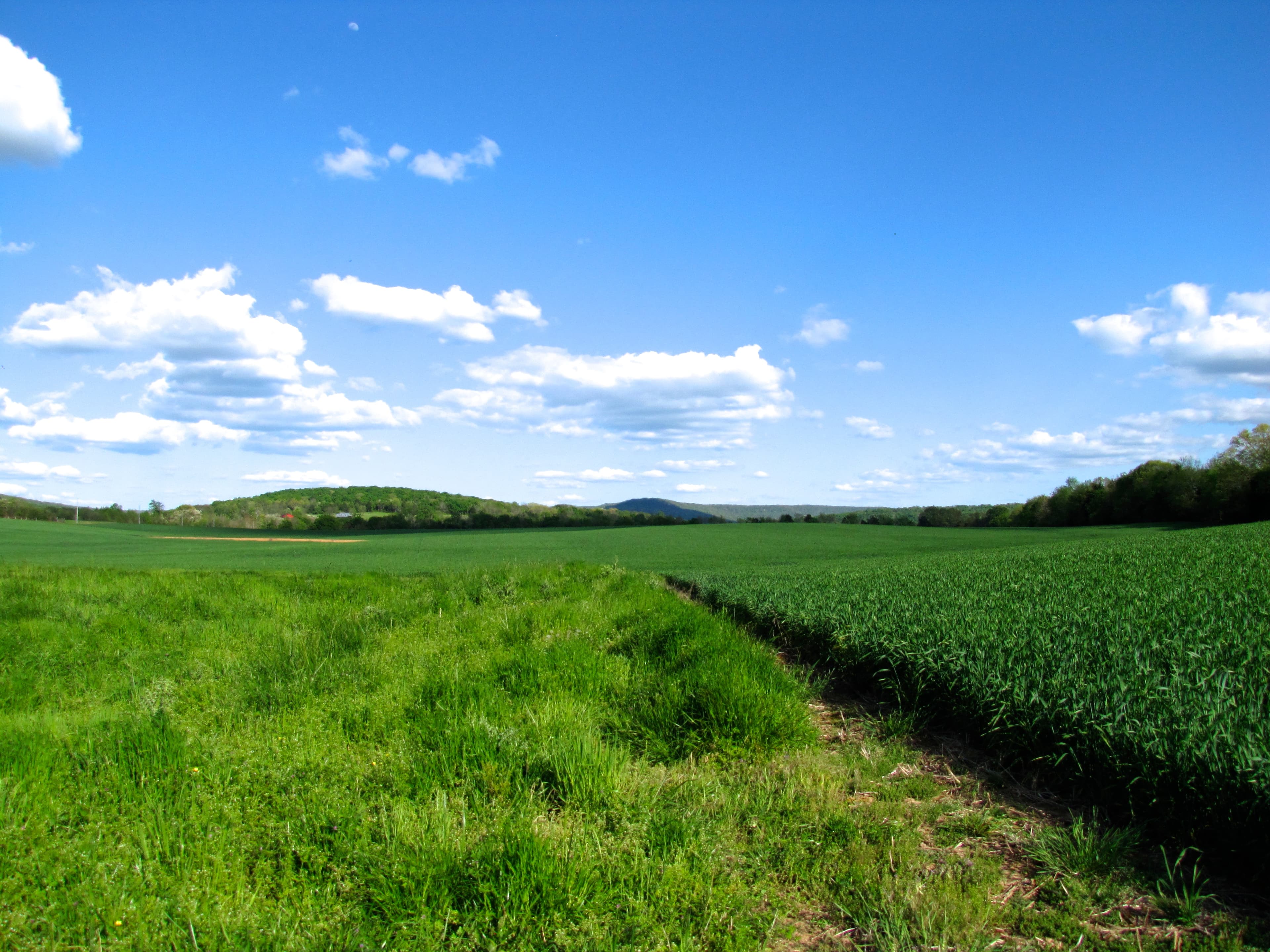
For buyers targeting agricultural or recreational land in the rural northern reaches of the county near the Wheeler National Wildlife Refuge and the Tennessee River floodplain, per-acre prices are lower, but those areas also carry more flood exposure and infrastructure challenges.
Zoning: What the County and Cities Regulate
Unlike many rural counties across the South that have no zoning at all, Madison County regulates land use in its unincorporated areas. The Madison County Planning Department administers zoning for parcels outside city limits. A common designation for lower-density rural development is the Rural Residential 1.5 (RR 1.5) zone, which allows residential construction while preserving a rural character.
Before making an offer on any parcel, contact the Planning Department and request a zoning verification letter. The zoning district determines what you can build, how many structures are permitted, and whether any commercial or agricultural activities are allowed. If the parcel falls within Huntsville, Madison, or another municipality, the relevant city's planning department governs instead.
Road frontage requirement: All lots must have at least 150 feet of road frontage, or legal access via a formally recorded easement. If you are buying a parcel that was recently split from a larger tract, verify that the subdivision was properly approved. Dividing more than five plots within a three-year period triggers a major subdivision review requiring detailed engineering approval.
Property Taxes for Vacant Land
Alabama has some of the lowest property taxes in the country. For rural vacant land in unincorporated Madison County, the millage rate is approximately $3.35 per $100 of assessed value. One nuance to understand: Alabama assesses most Class III property (residential and farm) at 10 percent of fair market value, not the full market price.
In practice, a 20-acre parcel worth $80,000 would carry an assessed value of $8,000. At $3.35 per $100, the annual tax bill comes to roughly $268. Parcels within Huntsville or Madison city limits face higher combined millage rates ($5.75 to $5.80 per $100 assessed), so city versus county location matters.
If the land qualifies for agricultural current use classification, assessed value may be based on productivity rather than market price, reducing the bill further. Ask the Madison County Revenue Commissioner about current use eligibility if you plan to farm or timber the property.
Flood Zones and Water Risk
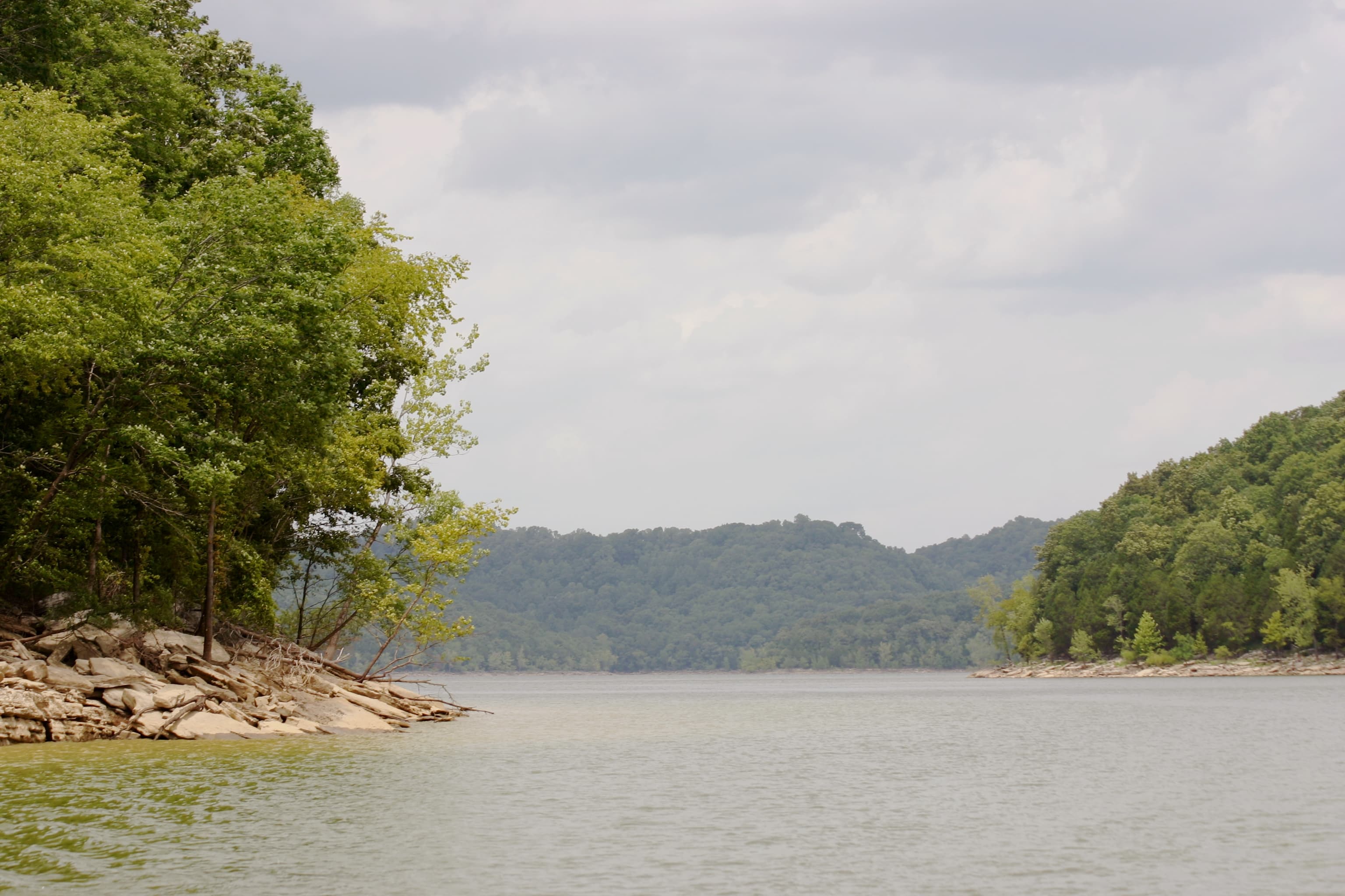
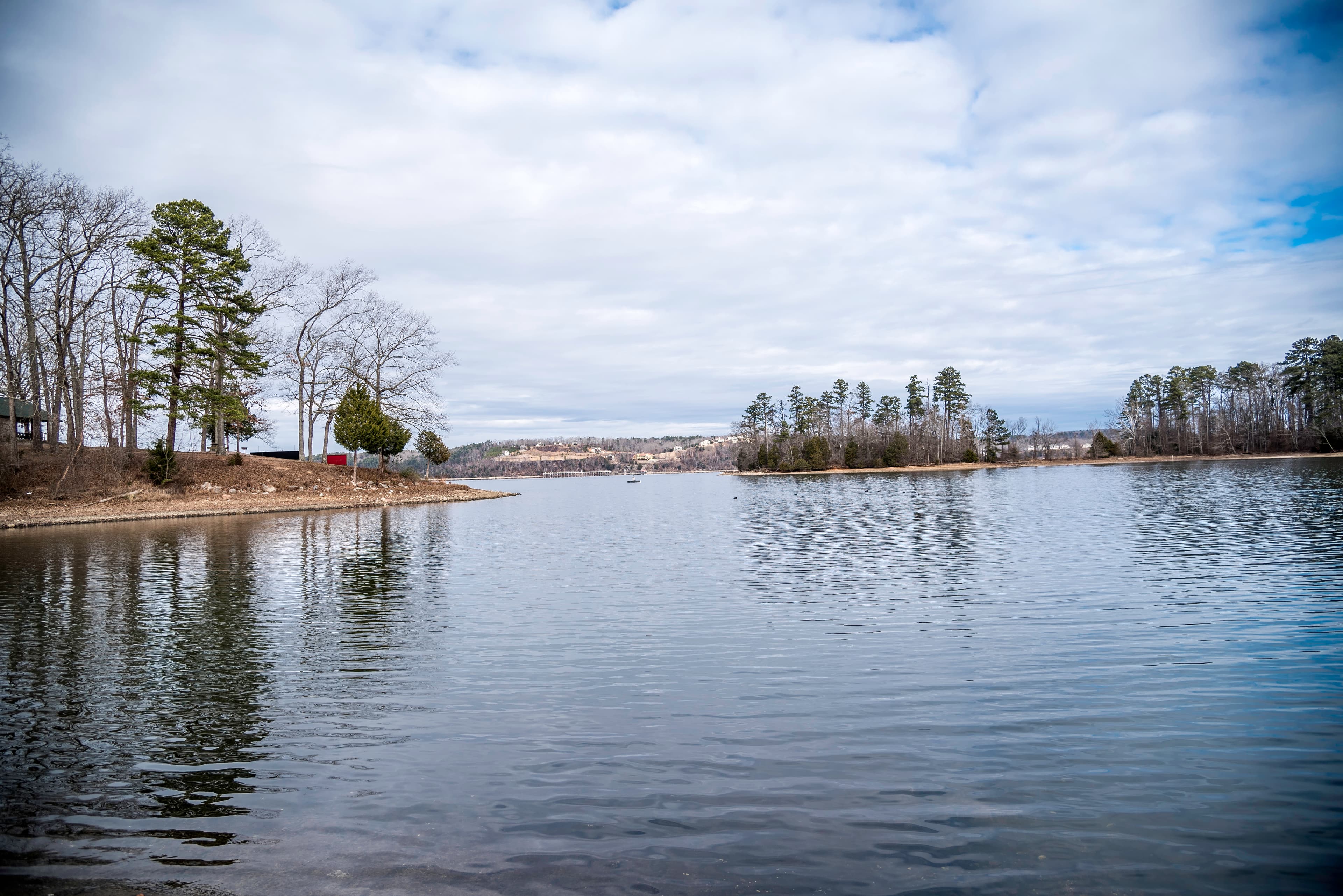
Flood risk is a meaningful consideration in Madison County, particularly near the Tennessee River and its tributaries. The major flood-prone water bodies include Wheeler Lake, the Flint River, the Paint Rock River, and Indian Creek. Flash flooding is the dominant hazard: roughly 82 percent of recorded flood events here are flash floods, not slow-rising river floods, and August is typically the most active month.
Madison County participates in FEMA's National Flood Insurance Program and is a Community Rating System (CRS) member, which provides a 5 percent discount on flood insurance premiums for unincorporated areas. Common flood zone designations include Zone X (minimal risk), Shaded Zone X (moderate risk), Zone A (high risk, no engineered base flood elevation), and Zone AE (high risk, with established flood elevations).
Use AlabamaFlood.com to check a specific parcel's flood designation before making an offer. Parcels in Zone A or AE will require an elevation certificate before construction, and flood insurance will be mandatory for federally backed mortgages. For broader context on how Alabama's flood mapping works, see our Alabama flood zones guide.
Septic Systems and Perc Tests
Parcels outside municipal sewer coverage, the large majority of rural Madison County, require a private septic system. Alabama law mandates a permit from the local health department before any system is installed. The Madison County Health Department Environmental Services division, operating under the Alabama Department of Public Health (ADPH), administers this process.
Before a permit is issued, a soil evaluation determines whether the ground can support a conventional system. A licensed professional (engineer, geologist, or soil classifier) conducts any required percolation testing. Soils with poor drainage may require a more expensive alternative system such as a mound or drip-irrigation configuration.
If you are buying undeveloped land with plans to build, verify septic feasibility before closing. Ask the seller for any existing soil evaluations. If none exist, contact the Madison County Health Department Environmental Services at (256) 533-8726 to schedule a preliminary site assessment. For more on how soils get classified in Alabama, see our Alabama soils and septic guide.
If you're trying to decide whether a Madison County listing is worth the hour-each-way drive to walk it, a LandWise report on the parcel returns the SSURGO soil series, drainage class, water-table depth, and a perc-risk rating (high/moderate/low) before you go. It also returns FEMA flood zone coverage (with per-zone percentages so you can see how much of a Flint River bottom parcel is actually in AE), distance to the nearest road, and distance to the nearest power line. The report doesn't replace ADPH's soil evaluation; it tells you whether scheduling one is worth the appointment fee.
Utilities: Power, Water, and Broadband
Electricity: Most of Madison County is served by Huntsville Utilities, a TVA distributor. Some rural fringe areas may be served by a different cooperative. If the nearest power line is far from the parcel, get a line extension cost estimate before closing. Depending on distance and terrain, costs can reach tens of thousands of dollars.
Water: Madison County Water Department serves a substantial portion of the county. Many rural parcels, particularly near the state line in the north, rely on private wells. Groundwater is generally abundant in Madison County given the geology of the Tennessee Valley. Well drilling typically costs $8,000 to $20,000 depending on depth and site conditions.
Broadband: Urban and suburban areas have strong fiber and cable options. More rural areas may rely on fixed wireless or satellite. Starlink provides a workable fallback for remote parcels, but verify coverage with the FCC's broadband maps and with local providers before assuming connectivity.
Due Diligence Checklist
Before closing on a Madison County parcel, work through these steps:
- Zoning and land use: Confirm the zone, overlay districts, and permitted uses with the Madison County Planning Department or the applicable city planning office.
- Septic feasibility: Contact the Madison County Health Department Environmental Services before closing on undeveloped land.
- Building permits: The Madison County Building Department enforces the 2018 International Residential Code. Understand what permits are required before any construction begins.
- Flood zone: Check AlabamaFlood.com or the FEMA map for the parcel. Request an elevation certificate if the property is near a flood zone boundary.
- Property taxes: Use the Madison County Tax Assessor's online estimation tool to confirm the applicable millage rate for the specific parcel.
- Title and easements: Review the title commitment for utility easements, road easements, mineral rights severances, and any restrictive covenants.
- Road access: Confirm that the parcel has legal access with at least 150 feet of road frontage or a recorded easement.
What we'd actually do first
The order matters in Madison County, because two of the cheapest checks (flood zone and zoning) rule out a third of bad listings before you spend anything. Before paying for a survey or a soil scientist, do this in order: (1) pull the FEMA flood zone breakdown for the parcel on AlabamaFlood.com, (2) call the Madison County Planning Department to confirm zoning and ask about any pending overlay districts, and (3) call the Madison County Health Department Environmental Services at (256) 533-8726 to ask whether the parcel has any prior failed soil evaluations on file. Those three calls are free.
Only then is it worth getting a Huntsville Utilities line-extension quote and scheduling an ADPH soil evaluation. If the parcel is north of the Flint River, also drive it after a heavy rain before closing, not just on a dry day; the August flash-flood pattern doesn't show up on a March walk-through.